Debre Werk’ night lights from space
Night Light of Debre Werk’ (Amhara) from space (Ethiopia) Src. Average luminocity for 10x10km area is 0% and for 50x50km: 0.0445%.
Analysis of Debre Werk’ night lights 2016
Square area 10x10 km:
 0%
0%90-99
0%80-89
0%70-79
0%60-69
0%50-59
0%40-49
0%30-39
0%20-29
0%10-19
0%0-9
100%Square area 50x50 km:
0%90-99
0%80-89
0%70-79
0.03%60-69
0%50-59
0%40-49
0.01%30-39
0.03%20-29
0.02%10-19
0%0-9
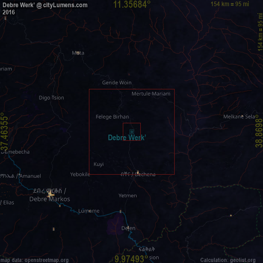
99.92%Clear (daylight) street map image can be seen on geolist.org.
Map coordinates:
11° 21' 24.6" North, 37° 27' 48.8" East
10° 40' 0" North, 38° 10' 0" East
9° 58' 29.7" North, 38° 52' 11.3" East
Some cities around Debre Werk’ sort by population:
• Bahir Dar
133.4 km =82.9 mi,  320°
320°
• Fichē
114.6 km =71.2 mi,  147°
147°
• Finote Selam
98.4 km =61.1 mi,  272°
272°
• Addiet Canna
100.1 km =62.2 mi,  311°
311°
• Burē
120.2 km =74.7 mi, 271°
• Gebre Guracha
99.7 km =62 mi,  165°
165°
• Bichena
24.4 km =15.2 mi, 171°
• Dejen
55.7 km =34.6 mi,  183°
183°
339671 (p: 10,579)
Sources (retrieved 2019-11-25):
» Earth at Night: Flat Maps 2012, 2016