Burē night lights from space
Night Light of Burē (Amhara) from space (Ethiopia) Src. Average luminocity for 10x10km area is 0.6653% and for 50x50km: 0.0561%.
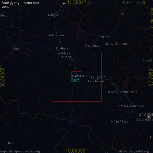
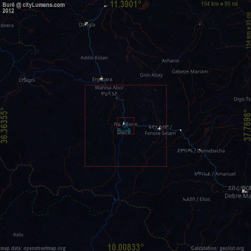
Analysis of Burē night lights 2016
Square area 10x10 km:
 0%
0%90-99
0%80-89
0%70-79
0%60-69
0%50-59
0%40-49
0.83%30-39
0%20-29
0.83%10-19
0%0-9
98.35%Square area 50x50 km:
0%90-99
0%80-89
0%70-79
0%60-69
0%50-59
0%40-49
0.03%30-39
0.03%20-29
0.08%10-19
0.03%0-9
99.83%Clear (daylight) street map image can be seen on geolist.org.
Map coordinates:
11° 23' 24.4" North, 36° 21' 48.8" East
10° 42' 0" North, 37° 4' 0" East
10° 0' 30" North, 37° 46' 11.3" East
Some cities around Burē sort by population:
• Bahir Dar
105.5 km =65.6 mi,  19°
19°
• Debre Mark’os
82.6 km =51.3 mi,  118°
118°
• Finote Selam
21.9 km =13.6 mi,  90°
90°
• Addiet Canna
77.7 km =48.3 mi,  35°
35°
• Bichena
127 km =78.9 mi,  102°
102°
• Shambu
126.1 km =78.4 mi,  178°
178°
• Dejen
130.8 km =81.3 mi, 116°
• Debre Werk’
120.2 km =74.7 mi, 91°
341397 (p: 22,038)
Sources (retrieved 2019-11-25):
» Earth at Night: Flat Maps 2012, 2016