Asaita night lights from space
Night Light of Asaita (Āfar) from space (Ethiopia) Src. Average luminocity for 10x10km area is 0.0087% and for 50x50km: 0.0577%.
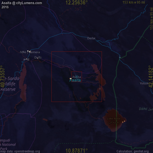
Analysis of Asaita night lights 2016
Square area 10x10 km:
 0%
0%90-99
0%80-89
0%70-79
0%60-69
0%50-59
0%40-49
0%30-39
0%20-29
0%10-19
0%0-9
100%Square area 50x50 km:
0%90-99
0%80-89
0.03%70-79
0%60-69
0.03%50-59
0%40-49
0%30-39
0%20-29
0%10-19
0.03%0-9
99.9%Clear (daylight) street map image can be seen on geolist.org.
Map coordinates:
12° 15' 22.9" North, 40° 44' 8.1" East
11° 34' 6.2" North, 41° 26' 19.3" East
10° 52' 43.4" North, 42° 8' 30.6" East
Some cities around Asaita sort by population:
• 'Ali Sabieh, DJ
146.2 km =90.8 mi,  108°
108°
• Dubti
42.9 km =26.7 mi,  295°
295°
• Tadjourah, DJ
159.1 km =98.9 mi,  81°
81°
• Batī
160.6 km =99.8 mi,  254°
254°
• Dikhil, DJ
113.9 km =70.8 mi,  116°
116°
• Gewanē
178.2 km =110.7 mi,  209°
209°
• Arta, DJ
154 km =95.7 mi,  91°
91°
• Semera
53.4 km =33.2 mi, 297°
343409 (p: 20,342)
Sources (retrieved 2019-11-25):
» Earth at Night: Flat Maps 2012, 2016