Tadjourah night lights from space
Night Light of Tadjourah from space (Djibouti) Src. Average luminocity for 10x10km area is 1.7975% and for 50x50km: 1.3418%.
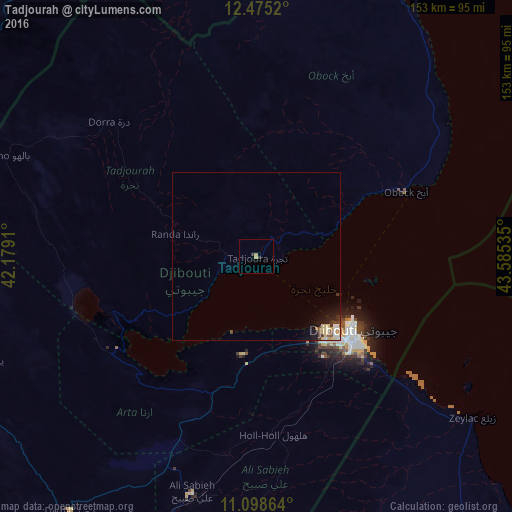
Analysis of Tadjourah night lights 2016
Square area 10x10 km:
 0%
0%90-99
0%80-89
0.21%70-79
1.03%60-69
0.41%50-59
0%40-49
0%30-39
1.03%20-29
0.62%10-19
0%0-9
96.69%Square area 50x50 km:
0.11%90-99
0.23%80-89
0.46%70-79
0.09%60-69
0.03%50-59
0.12%40-49
0.19%30-39
0.24%20-29
0.3%10-19
1.03%0-9
97.2%Clear (daylight) street map image can be seen on geolist.org.
Map coordinates:
12° 28' 30.7" North, 42° 10' 44.8" East
11° 47' 16" North, 42° 52' 56" East
11° 5' 55.1" North, 43° 35' 7.3" East
Some cities around Tadjourah sort by population:
• Djibouti
36.2 km =22.5 mi,  127°
127°
• 'Ali Sabieh
72.7 km =45.2 mi,  194°
194°
• Dubti, ET
196.1 km =121.9 mi,  268°
268°
• Assab, ER
136.7 km =84.9 mi,  353°
353°
• Asaita, ET
159.1 km =98.9 mi,  261°
261°
• Obock
48.5 km =30.1 mi,  65°
65°
• Dikhil
94.3 km =58.6 mi,  216°
216°
• Arta
29.3 km =18.2 mi, 186°
220782 (p: 22,193)
Sources (retrieved 2019-11-25):
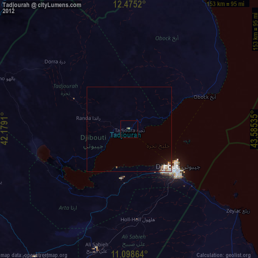
» Earth at Night: Flat Maps 2012, 2016