Dikhil night lights from space
Night Light of Dikhil from space (Djibouti) Src. Average luminocity for 10x10km area is 3.2446% and for 50x50km: 0.1274%.
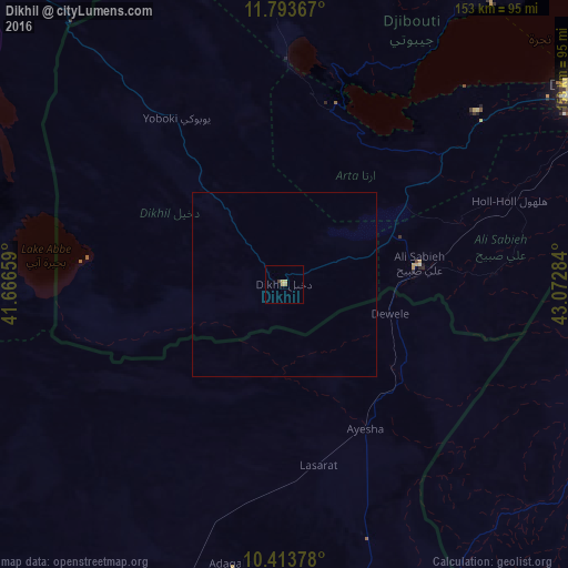
Analysis of Dikhil night lights 2016
Square area 10x10 km:
 0%
0%90-99
0%80-89
1.3%70-79
0.43%60-69
1.73%50-59
0%40-49
0.43%30-39
0.43%20-29
0%10-19
0%0-9
95.67%Square area 50x50 km:
0%90-99
0%80-89
0.05%70-79
0.02%60-69
0.07%50-59
0%40-49
0.02%30-39
0.02%20-29
0%10-19
0%0-9
99.83%Clear (daylight) street map image can be seen on geolist.org.
Map coordinates:
11° 47' 37.2" North, 41° 39' 59.7" East
11° 6' 16.3" North, 42° 22' 11" East
10° 24' 49.6" North, 43° 4' 22.2" East
Some cities around Dikhil sort by population:
• Djibouti
100.2 km =62.3 mi,  57°
57°
• 'Ali Sabieh
37.8 km =23.5 mi,  81°
81°
• Dubti, ET
156.8 km =97.4 mi,  296°
296°
• Tadjourah
94.3 km =58.6 mi,  36°
36°
• Asaita, ET
113.9 km =70.8 mi, 296°
• Obock
138.6 km =86.1 mi,  46°
46°
• Arta
70.5 km =43.8 mi, 48°
• Semera, ET
167.2 km =103.9 mi, 297°
223890 (p: 12,043)
Sources (retrieved 2019-11-25):
» Earth at Night: Flat Maps 2012, 2016