Semera night lights from space
Night Light of Semera (Āfar) from space (Ethiopia) Src. Average luminocity for 10x10km area is 2.7376% and for 50x50km: 0.1351%.
Analysis of Semera night lights 2016
Square area 10x10 km:
 0%
0%90-99
1.03%80-89
0.62%70-79
0%60-69
0%50-59
0%40-49
0%30-39
2.48%20-29
0%10-19
0%0-9
95.87%Square area 50x50 km:
0%90-99
0.04%80-89
0.03%70-79
0%60-69
0%50-59
0%40-49
0%30-39
0.13%20-29
0.03%10-19
0%0-9
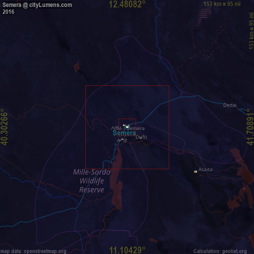
99.76%Clear (daylight) street map image can be seen on geolist.org.
Map coordinates:
12° 28' 51" North, 40° 18' 9.6" East
11° 47' 36.3" North, 41° 0' 20.8" East
11° 6' 15.4" North, 41° 42' 32.1" East
Some cities around Semera sort by population:
• Desē
166.6 km =103.5 mi,  243°
243°
• Kombolcha
158.7 km =98.6 mi, 240°
• Dubti
10.7 km =6.6 mi,  129°
129°
• Kemisē
172.3 km =107.1 mi,  225°
225°
• Robīt
151.4 km =94.1 mi,  279°
279°
• Asaita
53.4 km =33.2 mi,  117°
117°
• Batī
126.9 km =78.9 mi, 238°
• Dikhil, DJ
167.2 km =103.9 mi, 117°
6913519 (p: 833)
Sources (retrieved 2019-11-25):
» Earth at Night: Flat Maps 2012, 2016