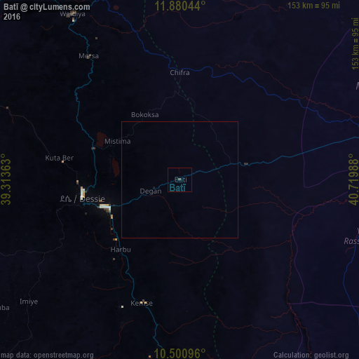
Batī night lights from space
Night Light of Batī (Amhara) from space (Ethiopia) Src. Average luminocity for 10x10km area is 0.4372% and for 50x50km: 0.0233%.
Analysis of Batī night lights 2016
Square area 10x10 km:
 0%
0%90-99
0%80-89
0%70-79
0%60-69
0%50-59
0%40-49
0.87%30-39
0%20-29
0%10-19
0%0-9
99.13%Square area 50x50 km:
0%90-99
0%80-89
0%70-79
0%60-69
0%50-59
0%40-49
0.03%30-39
0%20-29
0%10-19
0.03%0-9
99.93%Clear (daylight) street map image can be seen on geolist.org.
Map coordinates:
11° 52' 49.6" North, 39° 18' 49.1" East
11° 11' 29.5" North, 40° 1' 0.3" East
10° 30' 3.5" North, 40° 43' 11.6" East
Some cities around Batī sort by population:
• Desē
42.3 km =26.3 mi,  261°
261°
• Kombolcha
32.2 km =20 mi,  247°
247°
• Dubti
130.8 km =81.3 mi,  62°
62°
• Kemisē
55.2 km =34.3 mi,  196°
196°
• Robīt
100.8 km =62.6 mi,  335°
335°
• Gewanē
133.1 km =82.7 mi,  148°
148°
• Were Īlu
92.1 km =57.2 mi,  223°
223°
• Semera
126.9 km =78.9 mi, 58°
342641 (p: 19,260)
Sources (retrieved 2019-11-25):
» Earth at Night: Flat Maps 2012, 2016