'Ali Sabieh night lights from space
Night Light of 'Ali Sabieh (Ali Sabieh) from space (Djibouti) Src. Average luminocity for 10x10km area is 5.3853% and for 50x50km: 0.2308%.
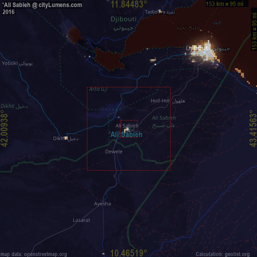
Analysis of 'Ali Sabieh night lights 2016
Square area 10x10 km:
 0%
0%90-99
0.87%80-89
0.43%70-79
3.03%60-69
0%50-59
0%40-49
0.87%30-39
0.65%20-29
1.95%10-19
0.87%0-9
91.34%Square area 50x50 km:
0%90-99
0.03%80-89
0.02%70-79
0.12%60-69
0%50-59
0%40-49
0.03%30-39
0.06%20-29
0.08%10-19
0.03%0-9
99.63%Clear (daylight) street map image can be seen on geolist.org.
Map coordinates:
11° 50' 41.4" North, 42° 0' 33.8" East
11° 9' 21" North, 42° 42' 45" East
10° 27' 54.7" North, 43° 24' 56.3" East
Some cities around 'Ali Sabieh sort by population:
• Djibouti
67.4 km =41.9 mi,  44°
44°
• Dubti, ET
188.9 km =117.4 mi,  289°
289°
• Tadjourah
72.7 km =45.2 mi,  14°
14°
• Asaita, ET
146.2 km =90.8 mi, 288°
• Baki, SO
158.6 km =98.5 mi,  152°
152°
• Obock
109.9 km =68.3 mi,  34°
34°
• Dikhil
37.8 km =23.5 mi,  261°
261°
• Arta
43.9 km =27.3 mi,  20°
20°
225284 (p: 55,000)
Sources (retrieved 2019-11-25):
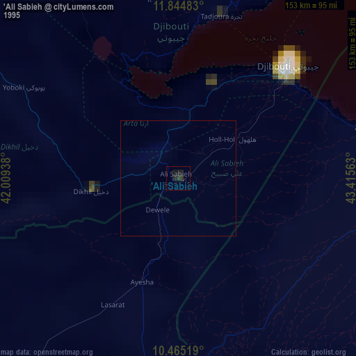
» NASA, Earths city lights 1995
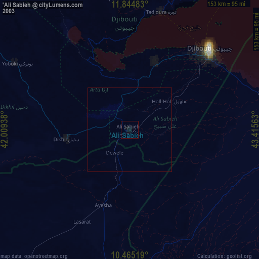
» NASA city lights 2003
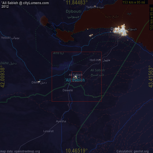
» Earth at Night: Flat Maps 2012, 2016