Dubti night lights from space
Night Light of Dubti (Āfar) from space (Ethiopia) Src. Average luminocity for 10x10km area is 0.3264% and for 50x50km: 0.1351%.
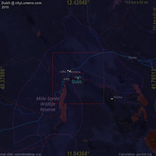
Analysis of Dubti night lights 2016
Square area 10x10 km:
 0%
0%90-99
0%80-89
0%70-79
0%60-69
0%50-59
0%40-49
0%30-39
0.83%20-29
0%10-19
0%0-9
99.17%Square area 50x50 km:
0%90-99
0.04%80-89
0.03%70-79
0%60-69
0%50-59
0%40-49
0%30-39
0.13%20-29
0.03%10-19
0%0-9
99.76%Clear (daylight) street map image can be seen on geolist.org.
Map coordinates:
12° 25' 13.7" North, 40° 22' 44" East
11° 43' 58.5" North, 41° 4' 55.2" East
11° 2' 37.1" North, 41° 47' 6.5" East
Some cities around Dubti sort by population:
• Desē
171.4 km =106.5 mi,  247°
247°
• Kombolcha
162.9 km =101.2 mi,  243°
243°
• Kemisē
173.9 km =108.1 mi,  229°
229°
• Robīt
160.8 km =99.9 mi,  281°
281°
• Asaita
42.9 km =26.7 mi,  115°
115°
• Batī
130.8 km =81.3 mi, 242°
• Dikhil, DJ
156.8 km =97.4 mi, 116°
• Semera
10.7 km =6.6 mi,  309°
309°
338554 (p: 26,370)
Sources (retrieved 2019-11-25):
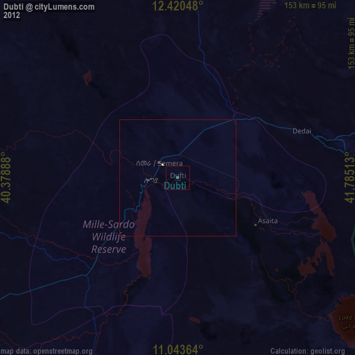
» Earth at Night: Flat Maps 2012, 2016