Massawa night lights from space
Night Light of Massawa (Northern Red Sea) from space (Eritrea) Src. Average luminocity for 10x10km area is 9.4069% and for 50x50km: 0.4213%.
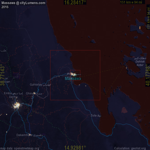
Analysis of Massawa night lights 2016
Square area 10x10 km:
 0.87%
0.87%90-99
1.95%80-89
0.65%70-79
0%60-69
2.6%50-59
1.95%40-49
1.73%30-39
1.52%20-29
2.6%10-19
0%0-9
86.15%Square area 50x50 km:
0.03%90-99
0.08%80-89
0.03%70-79
0%60-69
0.1%50-59
0.08%40-49
0.07%30-39
0.14%20-29
0.12%10-19
0.03%0-9
99.33%Clear (daylight) street map image can be seen on geolist.org.
Map coordinates:
16° 17' 3" North, 38° 46' 17.1" East
15° 36' 29.2" North, 39° 28' 28.4" East
14° 55' 47.3" North, 40° 10' 39.6" East
Some cities around Massawa sort by population:
• Asmara
65.5 km =40.7 mi,  242°
242°
• Keren
111.2 km =69.1 mi,  279°
279°
• Ādīgrat, ET
148 km =92 mi,  180°
180°
• Axum, ET
184 km =114.3 mi,  206°
206°
• Mendefera
106.9 km =66.4 mi,  221°
221°
• Adi Keyh
85.6 km =53.2 mi,  187°
187°
• Dek’emhāre
75.3 km =46.8 mi, 217°
• Ak’ordat
170.6 km =106 mi,  267°
267°
330546 (p: 23,100)
Sources (retrieved 2019-11-25):
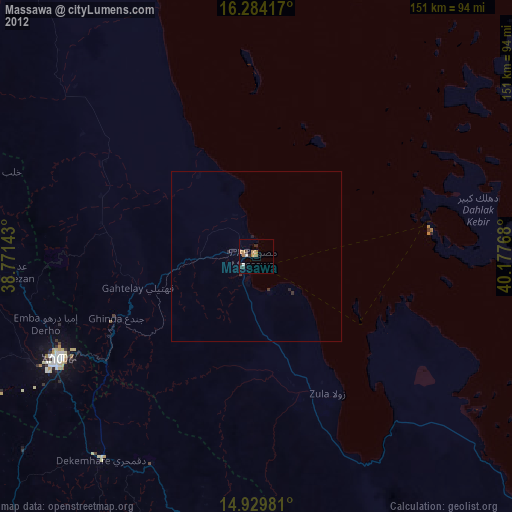
» Earth at Night: Flat Maps 2012, 2016