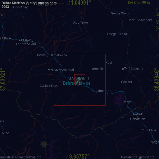
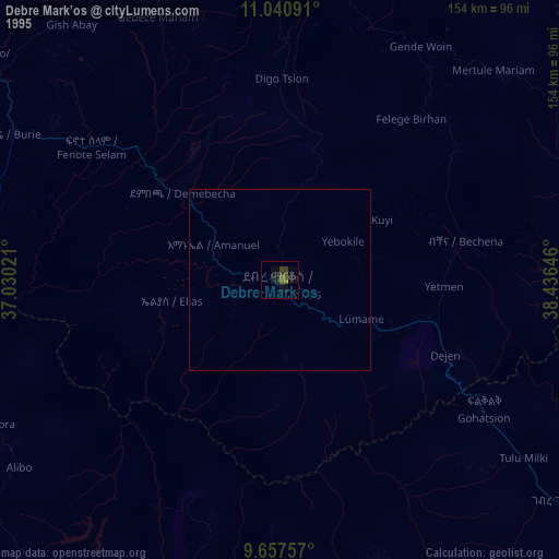
Debre Mark’os night lights from space
Night Light of Debre Mark’os (Amhara) from space (Ethiopia) Src. Average luminocity for 10x10km area is 6.9421% and for 50x50km: 0.3591%.
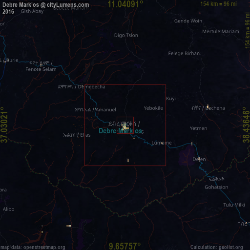

Analysis of Debre Mark’os night lights 2016
Square area 10x10 km:
 0%
0%90-99
0%80-89
1.65%70-79
2.69%60-69
0.62%50-59
0%40-49
1.65%30-39
2.48%20-29
2.48%10-19
0.21%0-9
88.22%Square area 50x50 km:
0%90-99
0%80-89
0.07%70-79
0.11%60-69
0.03%50-59
0%40-49
0.12%30-39
0.22%20-29
0.1%10-19
0.01%0-9
99.35%Clear (daylight) street map image can be seen on geolist.org.
Map coordinates:
11° 2' 27.3" North, 37° 1' 48.8" East
10° 21' 0" North, 37° 43' 60" East
9° 39' 27.3" North, 38° 26' 11.3" East
Some cities around Debre Mark’os sort by population:
• Fichē
125.4 km =77.9 mi,  119°
119°
• Finote Selam
64.2 km =39.9 mi,  307°
307°
• Addiet Canna
105.5 km =65.6 mi,  345°
345°
• Burē
82.6 km =51.3 mi,  298°
298°
• Gebre Guracha
95.2 km =59.2 mi,  129°
129°
• Bichena
52.2 km =32.4 mi,  77°
77°
• Shambu
111.3 km =69.2 mi,  218°
218°
• Dejen
48.3 km =30 mi,  114°
114°
339708 (p: 59,920)
Sources (retrieved 2019-11-25):
» NASA, Earths city lights 1995
» NASA city lights 2003
» Earth at Night: Flat Maps 2012, 2016