Fabero night lights from space
Night Light of Fabero (Castille and León) from space (Spain) Src. Average luminocity for 10x10km area is 7.4061% and for 50x50km: 4.9788%.
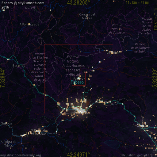
Analysis of Fabero night lights 2016
Square area 10x10 km:
 0.61%
0.61%90-99
0.91%80-89
0.91%70-79
0.76%60-69
1.52%50-59
1.06%40-49
1.52%30-39
2.27%20-29
0.15%10-19
0%0-9
90.3%Square area 50x50 km:
0.33%90-99
0.89%80-89
0.71%70-79
0.49%60-69
0.7%50-59
0.61%40-49
0.77%30-39
0.74%20-29
1.67%10-19
3.09%0-9
89.99%Clear (daylight) street map image can be seen on geolist.org.
Map coordinates:
43° 16' 55.4" North, 7° 19' 46.7" West
42° 46' 4.9" North, 6° 37' 35.4" West
42° 14' 59" North, 5° 55' 24.2" West
Some cities around Fabero sort by population:
• Ponferrada
24.7 km =15.3 mi,  174°
174°
• Cangas del Narcea
46.6 km =29 mi,  7°
7°
• O Barco de Valdeorras
49.1 km =30.5 mi,  217°
217°
• Sarria
64.3 km =40 mi,  271°
271°
• Astorga
58 km =36 mi,  126°
126°
• Villablino
31.5 km =19.6 mi,  52°
52°
• Bembibre
24 km =14.9 mi, 134°
• Cacabelos
20.3 km =12.6 mi,  203°
203°
3122695 (p: 5,150)
Sources (retrieved 2019-11-25):
» Earth at Night: Flat Maps 2012, 2016