Villablino night lights from space
Night Light of Villablino (Castille and León) from space (Spain) Src. Average luminocity for 10x10km area is 7.0619% and for 50x50km: 0.8813%.
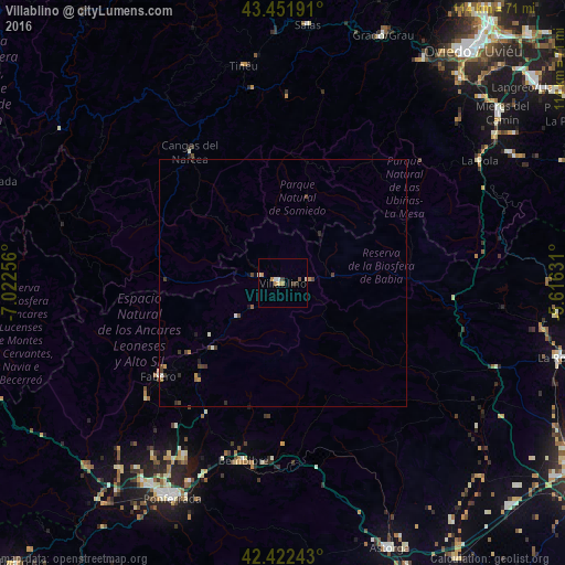
Analysis of Villablino night lights 2016
Square area 10x10 km:
 0.32%
0.32%90-99
2.22%80-89
0.63%70-79
1.11%60-69
1.43%50-59
0.63%40-49
0.48%30-39
1.43%20-29
0%10-19
0%0-9
91.75%Square area 50x50 km:
0.03%90-99
0.19%80-89
0.04%70-79
0.11%60-69
0.16%50-59
0.06%40-49
0.32%30-39
0.22%20-29
0.11%10-19
0.14%0-9
98.64%Clear (daylight) street map image can be seen on geolist.org.
Map coordinates:
43° 27' 6.9" North, 7° 1' 21.2" West
42° 56' 21.6" North, 6° 19' 9.9" West
42° 25' 20.7" North, 5° 36' 58.7" West
Some cities around Villablino sort by population:
• Ponferrada
49.2 km =30.6 mi,  207°
207°
• Cangas del Narcea
33 km =20.5 mi,  325°
325°
• Pola de Lena
46.9 km =29.1 mi,  58°
58°
• Tineo
45 km =28 mi,  350°
350°
• Bembibre
36.6 km =22.7 mi,  192°
192°
• Salas
52.8 km =32.8 mi,  5°
5°
• Fabero
31.5 km =19.6 mi,  232°
232°
• Cacabelos
50.1 km =31.1 mi,  221°
221°
3105748 (p: 10,660)
Sources (retrieved 2019-11-25):
» Earth at Night: Flat Maps 2012, 2016