Sarria night lights from space
Night Light of Sarria (Galicia) from space (Spain) Src. Average luminocity for 10x10km area is 3.7227% and for 50x50km: 1.3276%.
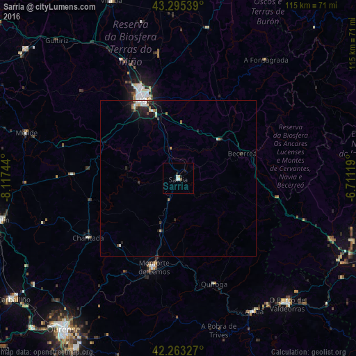
Analysis of Sarria night lights 2016
Square area 10x10 km:
 1.06%
1.06%90-99
0.76%80-89
0.61%70-79
0%60-69
0%50-59
0.61%40-49
0%30-39
0.61%20-29
1.21%10-19
0%0-9
95.15%Square area 50x50 km:
0.2%90-99
0.21%80-89
0.18%70-79
0.11%60-69
0.11%50-59
0.09%40-49
0.11%30-39
0.14%20-29
0.62%10-19
1.01%0-9
97.22%Clear (daylight) street map image can be seen on geolist.org.
Map coordinates:
43° 17' 43.4" North, 8° 7' 2.8" West
42° 46' 53.3" North, 7° 24' 51.5" West
42° 15' 47.8" North, 6° 42' 40.3" West
Some cities around Sarria sort by population:
• Lugo
27.9 km =17.3 mi,  335°
335°
• Monforte de Lemos
30 km =18.6 mi,  195°
195°
• Mos
43.2 km =26.8 mi,  345°
345°
• O Barco de Valdeorras
53.4 km =33.2 mi,  139°
139°
• Chantada
34.9 km =21.7 mi,  236°
236°
• Castro
13.9 km =8.6 mi,  263°
263°
• Castro de Rei
47.5 km =29.5 mi,  1°
1°
• Outeiro de Rei
39.2 km =24.4 mi, 335°
3109369 (p: 13,508)
Sources (retrieved 2019-11-25):
» Earth at Night: Flat Maps 2012, 2016