Edd night lights from space
Night Light of Edd (Southern Red Sea) from space (Eritrea) Src. Average luminocity for 10x10km area is 0% and for 50x50km: 0%.
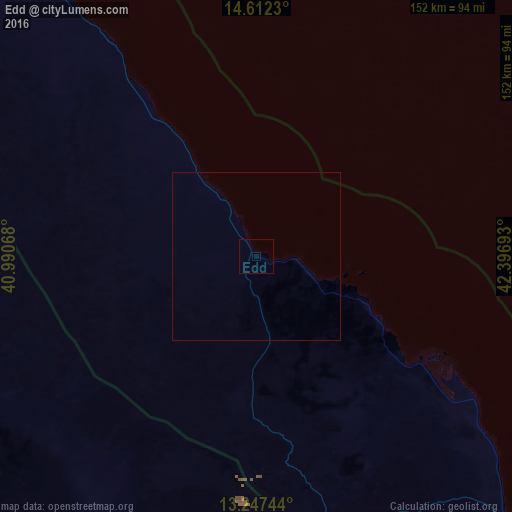
Analysis of Edd night lights 2016
Square area 10x10 km:
 0%
0%90-99
0%80-89
0%70-79
0%60-69
0%50-59
0%40-49
0%30-39
0%20-29
0%10-19
0%0-9
100%Square area 50x50 km:
0%90-99
0%80-89
0%70-79
0%60-69
0%50-59
0%40-49
0%30-39
0%20-29
0%10-19
0%0-9
100%Clear (daylight) street map image can be seen on geolist.org.
Map coordinates:
14° 36' 44.3" North, 40° 59' 26.4" East
13° 55' 51.2" North, 41° 41' 37.7" East
13° 14' 50.8" North, 42° 23' 48.9" East
Some cities around Edd sort by population:
• Al Ḩudaydah, YE
166.5 km =103.5 mi,  54°
54°
• Mek'ele, ET
244.5 km =151.9 mi,  258°
258°
• Ādīgrat, ET
243.7 km =151.4 mi,  279°
279°
• Zabīd, YE
177.3 km =110.2 mi,  80°
80°
• Bājil, YE
212.5 km =132 mi, 53°
• Bayt al Faqīh, YE
187.4 km =116.4 mi,  69°
69°
• Assab
152.6 km =94.8 mi,  132°
132°
• Al Jabīn, YE
222.5 km =138.3 mi, 67°
338345 (p: 11,259)
Sources (retrieved 2019-11-25):
» Earth at Night: Flat Maps 2012, 2016