Al Jabīn night lights from space
Night Light of Al Jabīn (Raymah) from space (Yemen) Src. Average luminocity for 10x10km area is 12.8409% and for 50x50km: 1.9845%.
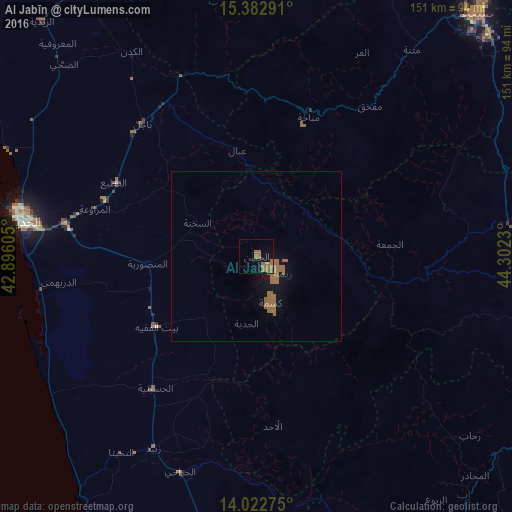
Analysis of Al Jabīn night lights 2016
Square area 10x10 km:
 0%
0%90-99
0%80-89
0%70-79
0%60-69
12.81%50-59
3.72%40-49
0%30-39
0%20-29
0%10-19
6.82%0-9
76.65%Square area 50x50 km:
0%90-99
0%80-89
0%70-79
0%60-69
1.86%50-59
0.52%40-49
0%30-39
0%20-29
0%10-19
1.42%0-9
96.2%Clear (daylight) street map image can be seen on geolist.org.
Map coordinates:
15° 22' 58.5" North, 42° 53' 45.8" East
14° 42' 14" North, 43° 35' 57" East
14° 1' 21.9" North, 44° 18' 8.3" East
Some cities around Al Jabīn sort by population:
• Al Ḩudaydah
70.1 km =43.6 mi,  278°
278°
• Dhamār
88.5 km =55 mi,  101°
101°
• Sayyān
93.7 km =58.2 mi,  56°
56°
• Zabīd
64.3 km =40 mi,  208°
208°
• Bājil
51.8 km =32.2 mi,  319°
319°
• Bayt al Faqīh
36.2 km =22.5 mi,  234°
234°
• Yarīm
95.2 km =59.2 mi,  118°
118°
• Al Maḩwīt
85.4 km =53.1 mi,  356°
356°
401043 (p: 0)
Sources (retrieved 2019-11-25):
» Earth at Night: Flat Maps 2012, 2016