Zabīd night lights from space
Night Light of Zabīd (Al Hudaydah) from space (Yemen) Src. Average luminocity for 10x10km area is 0.8788% and for 50x50km: 0.2054%.
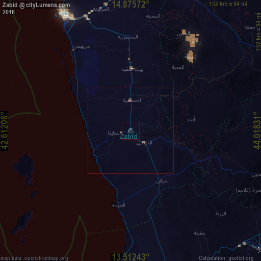
Analysis of Zabīd night lights 2016
Square area 10x10 km:
 0%
0%90-99
0%80-89
0%70-79
0%60-69
0%50-59
0.87%40-49
0%30-39
0.87%20-29
0%10-19
0%0-9
98.27%Square area 50x50 km:
0%90-99
0%80-89
0%70-79
0%60-69
0.1%50-59
0.13%40-49
0.07%30-39
0.03%20-29
0%10-19
0.07%0-9
99.6%Clear (daylight) street map image can be seen on geolist.org.
Map coordinates:
14° 52' 32.6" North, 42° 36' 43.4" East
14° 11' 42.4" North, 43° 18' 54.6" East
13° 30' 44.7" North, 44° 1' 5.9" East
Some cities around Zabīd sort by population:
• Al Ḩudaydah
77.4 km =48.1 mi,  329°
329°
• Ta‘izz
102.4 km =63.6 mi,  131°
131°
• Ibb
97 km =60.3 mi,  105°
105°
• Bājil
96.1 km =59.7 mi,  358°
358°
• Dhī as Sufāl
95.1 km =59.1 mi, 114°
• Bayt al Faqīh
35.7 km =22.2 mi,  1°
1°
• Yarīm
115.1 km =71.5 mi,  84°
84°
• Al Jabīn
64.3 km =40 mi,  28°
28°
69500 (p: 52,590)
Sources (retrieved 2019-11-25):
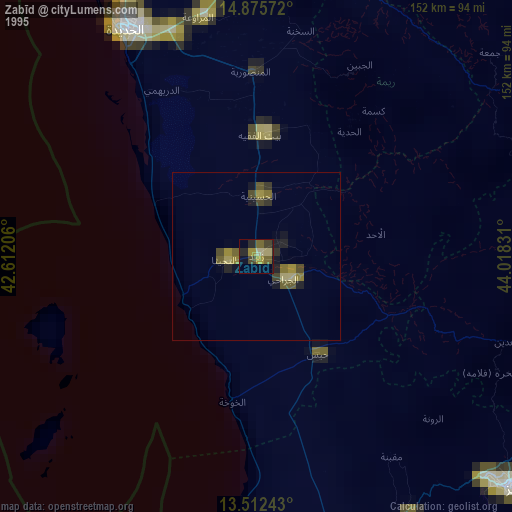
» NASA, Earths city lights 1995
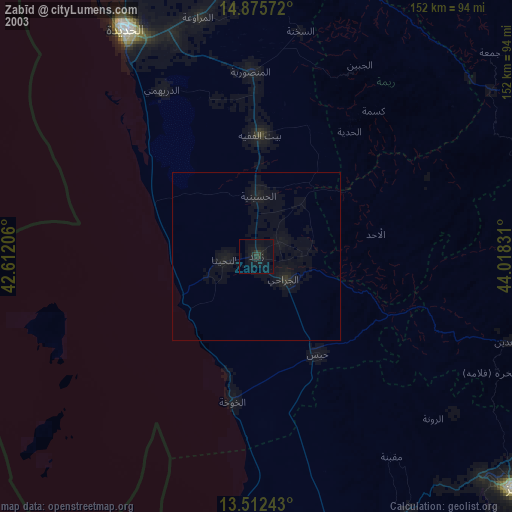
» NASA city lights 2003
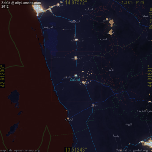
» Earth at Night: Flat Maps 2012, 2016