Assab night lights from space
Night Light of Assab (Southern Red Sea) from space (Eritrea) Src. Average luminocity for 10x10km area is 2.0087% and for 50x50km: 0.2034%.
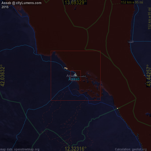
Analysis of Assab night lights 2016
Square area 10x10 km:
 0%
0%90-99
0%80-89
0%70-79
0%60-69
0%50-59
0%40-49
0%30-39
2.6%20-29
3.46%10-19
0%0-9
93.94%Square area 50x50 km:
0%90-99
0%80-89
0.05%70-79
0.05%60-69
0%50-59
0%40-49
0.03%30-39
0.14%20-29
0.14%10-19
0%0-9
99.59%Clear (daylight) street map image can be seen on geolist.org.
Map coordinates:
13° 41' 35.8" North, 42° 2' 10.8" East
13° 0' 33" North, 42° 44' 22" East
12° 19' 23.4" North, 43° 26' 33.3" East
Some cities around Assab sort by population:
• Djibouti, DJ
163.9 km =101.8 mi,  164°
164°
• Ta‘izz, YE
152.5 km =94.8 mi,  65°
65°
• Zabīd, YE
145.8 km =90.6 mi,  25°
25°
• Dhī as Sufāl, YE
174.8 km =108.6 mi,  58°
58°
• Tadjourah, DJ
136.7 km =84.9 mi,  173°
173°
• Obock, DJ
130.3 km =81 mi,  152°
152°
• Edd
152.6 km =94.8 mi,  312°
312°
• Arta, DJ
165.3 km =102.7 mi,  175°
175°
343386 (p: 21,300)
Sources (retrieved 2019-11-25):
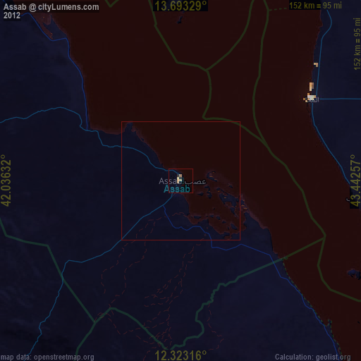
» Earth at Night: Flat Maps 2012, 2016