Sohag night lights from space
Night Light of Sohag from space (Egypt) Src. Average luminocity for 10x10km area is 88.6894% and for 50x50km: 35.0675%.
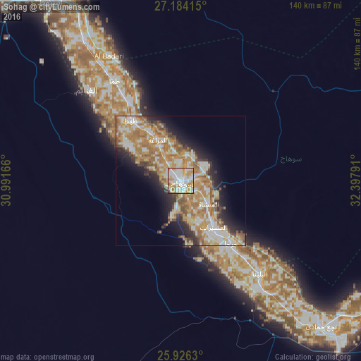
Analysis of Sohag night lights 2016
Square area 10x10 km:
 26.89%
90-99
32.77%80-89
12.69%70-79
21.97%60-69
2.84%50-59
1.14%40-49
0.95%30-39
0.57%20-29
0.19%10-19
0%0-9
0%Square area 50x50 km:
5.46%90-99
8.05%80-89
4.23%70-79
8.61%60-69
7.47%50-59
3.83%40-49
2.91%30-39
2.53%20-29
5.25%10-19
7.81%0-9
43.86%Clear (daylight) street map image can be seen on geolist.org.
Map coordinates:
27° 11' 2.9" North, 30° 59' 30" East
26° 33' 25" North, 31° 41' 41.2" East
25° 55' 34.7" North, 32° 23' 52.5" East
Some cities around Sohag sort by population:
• Jirjā
31.2 km =19.4 mi,  141°
141°
• Akhmīm
5 km =3.1 mi,  83°
83°
• Ţahţā
30.4 km =18.9 mi,  320°
320°
• Abū Tīj
65.8 km =40.9 mi,  325°
325°
• Al Manshāh
14 km =8.7 mi,  129°
129°
• Al Balyanā
47.1 km =29.3 mi, 139°
• Juhaynah
23.5 km =14.6 mi,  303°
303°
• Al Badārī
55.8 km =34.7 mi, 330°
347796 (p: 209,419)
Sources (retrieved 2019-11-25):
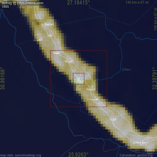
» NASA, Earths city lights 1995
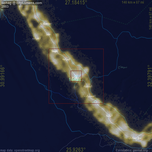
» NASA city lights 2003
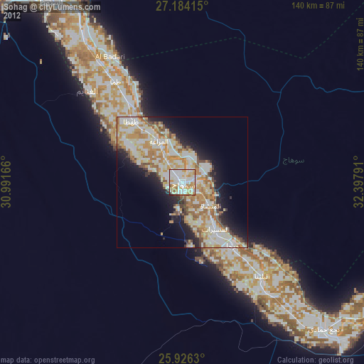
» Earth at Night: Flat Maps 2012, 2016