Jirjā night lights from space
Night Light of Jirjā (Sohag) from space (Egypt) Src. Average luminocity for 10x10km area is 82.8333% and for 50x50km: 36.3773%.
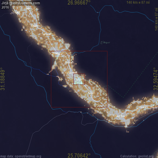

Analysis of Jirjā night lights 2016
Square area 10x10 km:
 25%
25%90-99
30.3%80-89
9.85%70-79
11.36%60-69
5.49%50-59
8.71%40-49
3.41%30-39
2.46%20-29
2.46%10-19
0.95%0-9
0%Square area 50x50 km:
5.98%90-99
8.5%80-89
4.54%70-79
8.26%60-69
7.73%50-59
4.44%40-49
2.97%30-39
2.23%20-29
5.41%10-19
7.17%0-9
42.76%Clear (daylight) street map image can be seen on geolist.org.
Map coordinates:
26° 58' 0" North, 31° 11' 18.6" East
26° 20' 17.7" North, 31° 53' 29.8" East
25° 42' 23.1" North, 32° 35' 41.1" East
Some cities around Jirjā sort by population:
• Sohag
31.2 km =19.4 mi,  321°
321°
• Akhmīm
28.9 km =18 mi,  329°
329°
• Ţahţā
61.6 km =38.3 mi, 321°
• Al Manshāh
17.7 km =11 mi, 330°
• Farshūţ
41.6 km =25.8 mi,  139°
139°
• Al Balyanā
16 km =9.9 mi, 135°
• Juhaynah
54.1 km =33.6 mi,  313°
313°
• Naja' Ḥammādī
47.4 km =29.5 mi,  132°
132°
355026 (p: 128,250)
Sources (retrieved 2019-11-25):
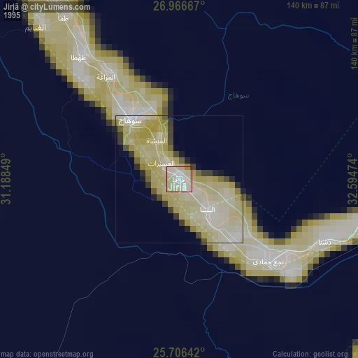
» NASA, Earths city lights 1995
» NASA city lights 2003
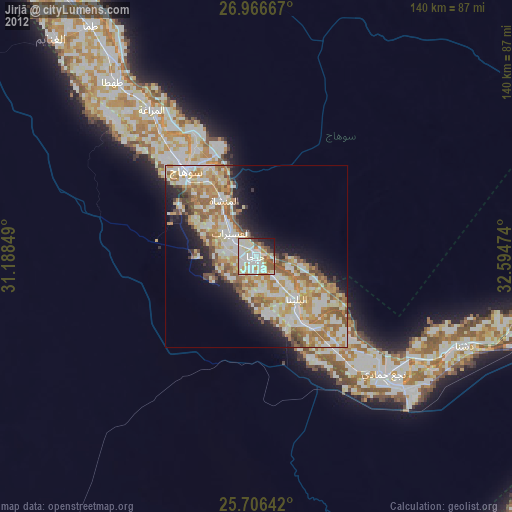
» Earth at Night: Flat Maps 2012, 2016