Al Manshāh night lights from space
Night Light of Al Manshāh (Sohag) from space (Egypt) Src. Average luminocity for 10x10km area is 70.8182% and for 50x50km: 35.1867%.
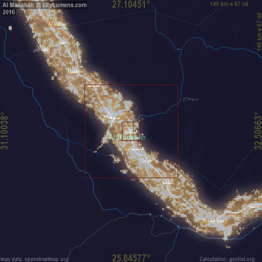
Analysis of Al Manshāh night lights 2016
Square area 10x10 km:
 9.09%
9.09%90-99
15.53%80-89
10.8%70-79
21.02%60-69
21.02%50-59
5.49%40-49
6.82%30-39
3.03%20-29
6.06%10-19
1.14%0-9
0%Square area 50x50 km:
5.52%90-99
7.86%80-89
4.83%70-79
8.41%60-69
7.31%50-59
3.96%40-49
2.68%30-39
2.52%20-29
5.5%10-19
7.39%0-9
44.02%Clear (daylight) street map image can be seen on geolist.org.
Map coordinates:
27° 6' 16.2" North, 31° 6' 1.4" East
26° 28' 36.7" North, 31° 48' 12.6" East
25° 50' 44.8" North, 32° 30' 23.9" East
Some cities around Al Manshāh sort by population:
• Sohag
14 km =8.7 mi,  309°
309°
• Jirjā
17.7 km =11 mi,  150°
150°
• Akhmīm
11.1 km =6.9 mi,  328°
328°
• Ţahţā
44.2 km =27.5 mi,  317°
317°
• Farshūţ
59.1 km =36.7 mi,  142°
142°
• Al Balyanā
33.4 km =20.8 mi, 143°
• Juhaynah
37.4 km =23.2 mi, 305°
• Naja' Ḥammādī
64.5 km =40.1 mi, 137°
360773 (p: 61,134)
Sources (retrieved 2019-11-25):
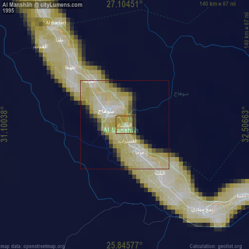
» NASA, Earths city lights 1995
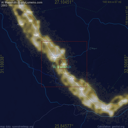
» NASA city lights 2003
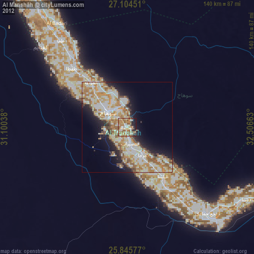
» Earth at Night: Flat Maps 2012, 2016