Juhaynah night lights from space
Night Light of Juhaynah (Sohag) from space (Egypt) Src. Average luminocity for 10x10km area is 63.161% and for 50x50km: 31.4195%.
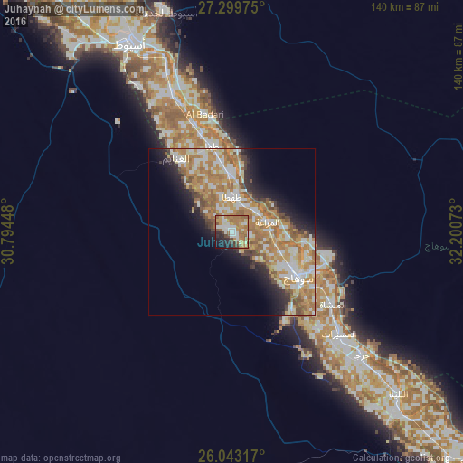
Analysis of Juhaynah night lights 2016
Square area 10x10 km:
 6.44%
6.44%90-99
17.61%80-89
3.22%70-79
16.86%60-69
20.83%50-59
7.39%40-49
5.68%30-39
3.03%20-29
9.85%10-19
7.95%0-9
1.14%Square area 50x50 km:
4.35%90-99
7.03%80-89
3.72%70-79
7.94%60-69
7.92%50-59
3.46%40-49
2.45%30-39
2.02%20-29
4.21%10-19
7.21%0-9
49.67%Clear (daylight) street map image can be seen on geolist.org.
Map coordinates:
27° 17' 59.1" North, 30° 47' 40.1" East
26° 40' 23.5" North, 31° 29' 51.4" East
26° 2' 35.4" North, 32° 12' 2.6" East
Some cities around Juhaynah sort by population:
• Asyūţ
64.5 km =40.1 mi,  331°
331°
• Sohag
23.5 km =14.6 mi,  123°
123°
• Jirjā
54.1 km =33.6 mi,  133°
133°
• Akhmīm
27.5 km =17.1 mi, 116°
• Ţahţā
10.6 km =6.6 mi,  2°
2°
• Abū Tīj
44.9 km =27.9 mi,  336°
336°
• Al Manshāh
37.4 km =23.2 mi, 125°
• Al Badārī
36.4 km =22.6 mi,  347°
347°
354981 (p: 47,821)
Sources (retrieved 2019-11-25):
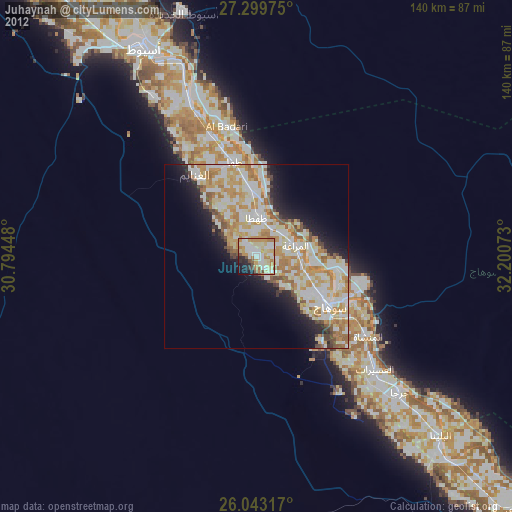
» Earth at Night: Flat Maps 2012, 2016