AkhmÄŦm night lights from space
Night Light of AkhmÄŦm (Sohag) from space (Egypt) Src. Average luminocity for 10x10km area is 85.3087% and for 50x50km: 32.7944%.
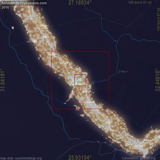
Analysis of AkhmÄŦm night lights 2016
Square area 10x10 km:
 20.83%
90-99
27.08%80-89
13.45%70-79
25.19%60-69
10.61%50-59
2.84%40-49
0%30-39
0%20-29
0%10-19
0%0-9
0%Square area 50x50 km:
5.03%90-99
7.31%80-89
3.95%70-79
7.99%60-69
7.07%50-59
3.62%40-49
2.82%30-39
2.48%20-29
5.24%10-19
7.84%0-9
46.66%Clear (daylight) street map image can be seen on geolist.org.
Map coordinates:
27° 11' 21.6" North, 31° 2' 30.9" East
26° 33' 43.8" North, 31° 44' 42.1" East
25° 55' 53.5" North, 32° 26' 53.4" East
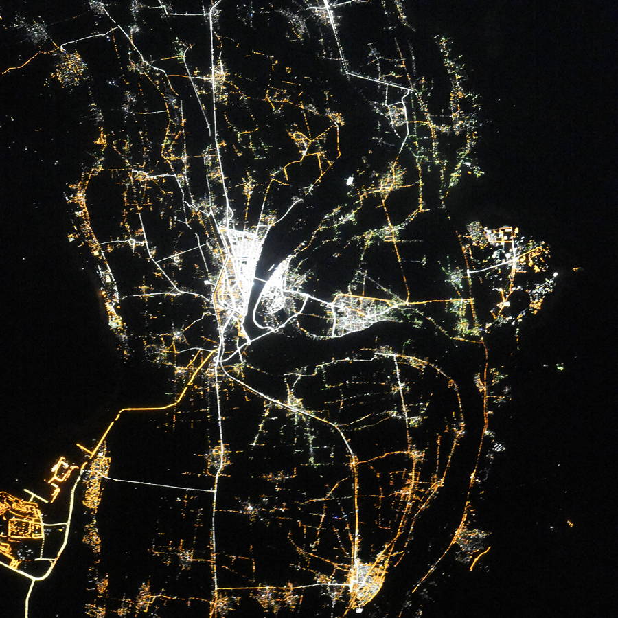
Fantastic image of AkhmÄŦm from space taken by astronauts [src2], but I don't have information about it's orientation, scale or angle. If necessary, it was rotated manually, so North points approximately to upper direction. Click to zoom in:
Some cities around AkhmÄŦm sort by population:
• Sohag
5 km =3.1 mi,  263°
263°
• JirjÄ
28.9 km =18 mi,  149°
149°
• ÅĒahÅĢÄ
33.3 km =20.7 mi,  313°
313°
• AbÅŦ TÄŦj
68.3 km =42.4 mi,  321°
321°
• Al ManshÄh
11.1 km =6.9 mi, 148°
• Al BalyanÄ
44.5 km =27.7 mi,  144°
144°
• Juhaynah
27.5 km =17.1 mi,  296°
296°
• Al BadÄrÄŦ
58 km =36 mi,  325°
325°
361661 (p: 99,446)
Sources (retrieved 2019-11-25):
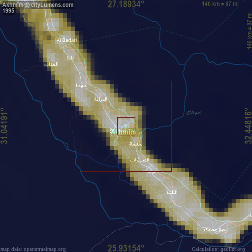
» NASA, Earths city lights 1995
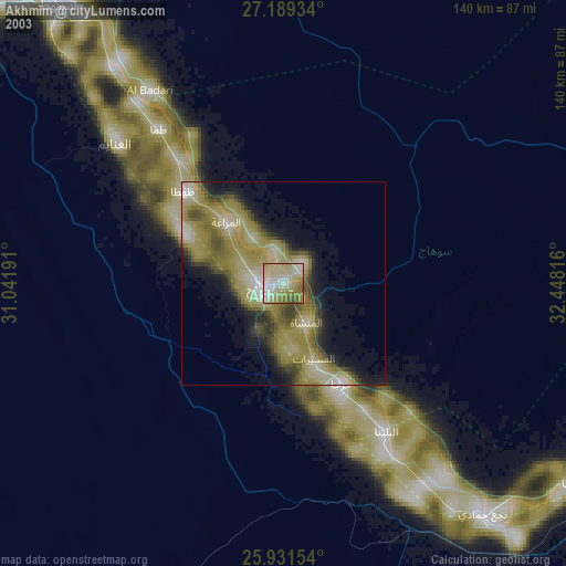
» NASA city lights 2003
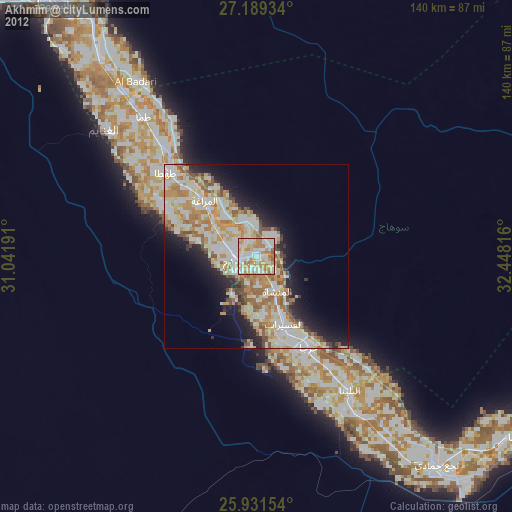
» Earth at Night: Flat Maps 2012, 2016
Src.2: picture by Oleg Kononenko, Roscosmos, retrieved 2019-11-29