Al Balyanā night lights from space
Night Light of Al Balyanā (Sohag) from space (Egypt) Src. Average luminocity for 10x10km area is 83.6171% and for 50x50km: 35.4129%.
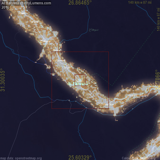
Analysis of Al Balyanā night lights 2016
Square area 10x10 km:
 17.46%
90-99
26.19%80-89
12.5%70-79
22.22%60-69
20.44%50-59
1.19%40-49
0%30-39
0%20-29
0%10-19
0%0-9
0%Square area 50x50 km:
6.67%90-99
8.49%80-89
3.86%70-79
6.93%60-69
7.21%50-59
4.63%40-49
3.35%30-39
2.13%20-29
5.06%10-19
7.48%0-9
44.17%Clear (daylight) street map image can be seen on geolist.org.
Map coordinates:
26° 51' 52.7" North, 31° 18' 1.3" East
26° 14' 8.4" North, 32° 0' 12.5" East
25° 36' 11.8" North, 32° 42' 23.8" East
Some cities around Al Balyanā sort by population:
• Sohag
47.1 km =29.3 mi,  319°
319°
• Jirjā
16 km =9.9 mi, 315°
• Akhmīm
44.5 km =27.7 mi, 324°
• Al Manshāh
33.4 km =20.8 mi, 323°
• Dishnā
48.7 km =30.3 mi,  104°
104°
• Farshūţ
25.7 km =16 mi,  141°
141°
• Juhaynah
70 km =43.5 mi,  314°
314°
• Naja' Ḥammādī
31.5 km =19.6 mi,  131°
131°
361435 (p: 48,801)
Sources (retrieved 2019-11-25):
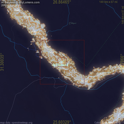
» Earth at Night: Flat Maps 2012, 2016