Al Badārī night lights from space
Night Light of Al Badārī (Asyut) from space (Egypt) Src. Average luminocity for 10x10km area is 70.7282% and for 50x50km: 32.4638%.
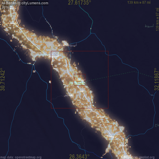
Analysis of Al Badārī night lights 2016
Square area 10x10 km:
 6.75%
6.75%90-99
21.03%80-89
12.7%70-79
19.44%60-69
14.88%50-59
4.37%40-49
7.94%30-39
3.57%20-29
5.95%10-19
3.37%0-9
0%Square area 50x50 km:
5.22%90-99
7.63%80-89
3.9%70-79
6.92%60-69
7.8%50-59
3.72%40-49
2.48%30-39
2%20-29
4.71%10-19
7.2%0-9
48.44%Clear (daylight) street map image can be seen on geolist.org.
Map coordinates:
27° 37' 2.5" North, 30° 42' 44.7" East
26° 59' 33.3" North, 31° 24' 55.9" East
26° 21' 51.5" North, 32° 7' 7.2" East
Some cities around Al Badārī sort by population:
• Asyūţ
31.1 km =19.3 mi,  312°
312°
• Sohag
55.8 km =34.7 mi,  150°
150°
• Akhmīm
58 km =36 mi, 145°
• Ţahţā
26.3 km =16.3 mi,  160°
160°
• Manfalūţ
56.5 km =35.1 mi, 308°
• Abū Tīj
11.2 km =7 mi,  300°
300°
• Abnūb
40.4 km =25.1 mi,  319°
319°
• Juhaynah
36.4 km =22.6 mi,  167°
167°
361478 (p: 44,132)
Sources (retrieved 2019-11-25):
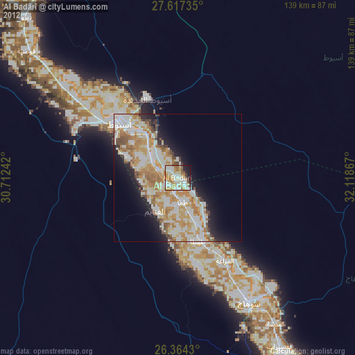
» Earth at Night: Flat Maps 2012, 2016