Abū Tīj night lights from space
Night Light of Abū Tīj (Asyut) from space (Egypt) Src. Average luminocity for 10x10km area is 83.4802% and for 50x50km: 35.8482%.
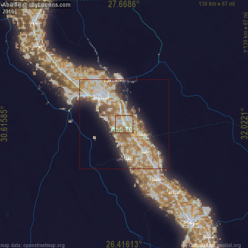
Analysis of Abū Tīj night lights 2016
Square area 10x10 km:
 16.07%
90-99
28.37%80-89
13.29%70-79
21.43%60-69
17.06%50-59
3.77%40-49
0%30-39
0%20-29
0%10-19
0%0-9
0%Square area 50x50 km:
6.2%90-99
8.95%80-89
4.45%70-79
7.26%60-69
7.87%50-59
3.7%40-49
2.87%30-39
2.15%20-29
5.16%10-19
7.35%0-9
44.05%Clear (daylight) street map image can be seen on geolist.org.
Map coordinates:
27° 40' 7" North, 30° 36' 57.1" East
27° 2' 38.8" North, 31° 19' 8.3" East
26° 24' 58.1" North, 32° 1' 19.6" East
Some cities around Abū Tīj sort by population:
• Asyūţ
20.3 km =12.6 mi,  318°
318°
• Sohag
65.8 km =40.9 mi,  145°
145°
• Ţahţā
35.6 km =22.1 mi, 149°
• Manfalūţ
45.5 km =28.3 mi,  310°
310°
• Abnūb
30.1 km =18.7 mi,  326°
326°
• Al Qūşīyah
66.2 km =41.1 mi, 311°
• Juhaynah
44.9 km =27.9 mi,  156°
156°
• Al Badārī
11.2 km =7 mi,  120°
120°
362004 (p: 71,257)
Sources (retrieved 2019-11-25):
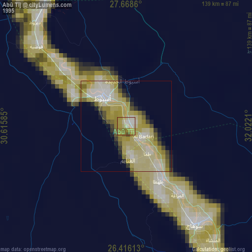
» NASA, Earths city lights 1995
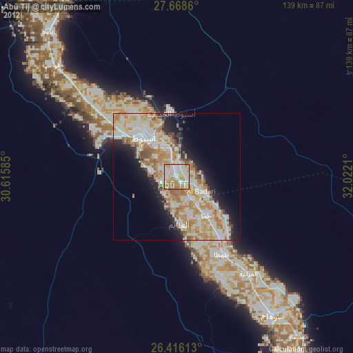
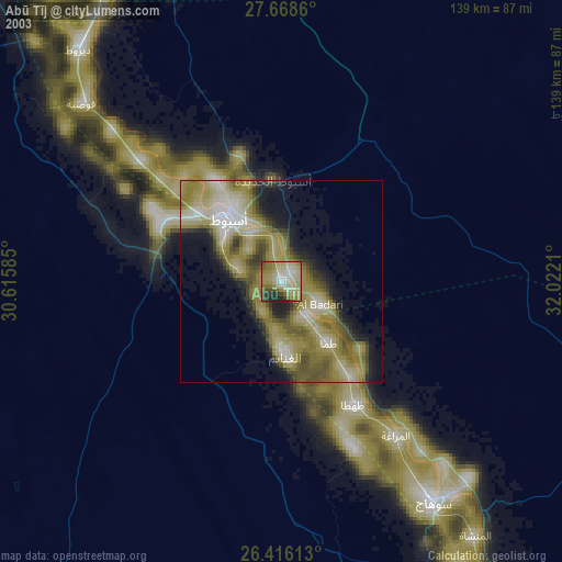
» NASA city lights 2003
» Earth at Night: Flat Maps 2012, 2016