AsyĹŤĹŁ night lights from space
Night Light of AsyĹŤĹŁ (Asyut) from space (Egypt) Src. Average luminocity for 10x10km area is 86.9697% and for 50x50km: 38.1896%.
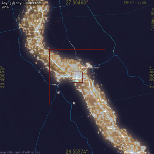
Analysis of AsyĹŤĹŁ night lights 2016
Square area 10x10 km:
 39.2%
39.2%90-99
25.95%80-89
8.33%70-79
7.95%60-69
7.2%50-59
4.36%40-49
2.08%30-39
3.22%20-29
1.7%10-19
0%0-9
0%Square area 50x50 km:
6.42%90-99
9.24%80-89
4.9%70-79
6.85%60-69
7.73%50-59
4.66%40-49
4.08%30-39
3.25%20-29
5.85%10-19
8.37%0-9
38.63%Clear (daylight) street map image can be seen on geolist.org.
Map coordinates:
27° 48' 16.8" North, 30° 28' 50" East
27° 10' 51.5" North, 31° 11' 1.2" East
26° 33' 13.5" North, 31° 53' 12.5" East
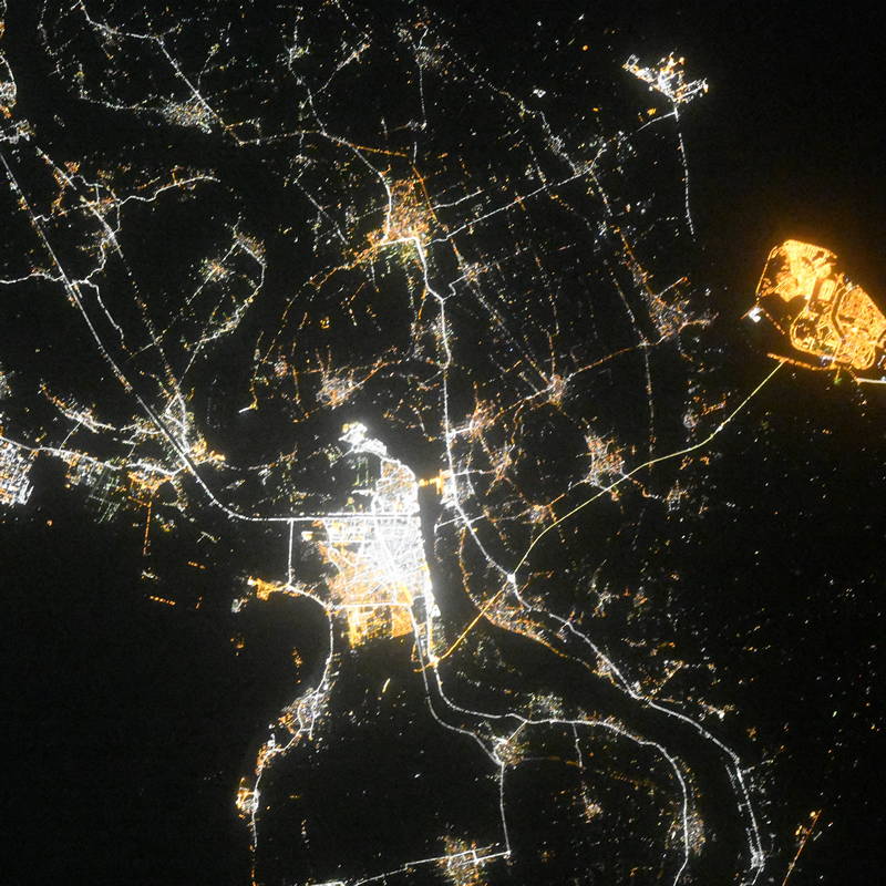
Fantastic image of AsyĹŤĹŁ from space taken by astronauts [src2], but I don't have information about it's orientation, scale or angle. If necessary, it was rotated manually, so North points approximately to upper direction. Click to zoom in:
Some cities around AsyĹŤĹŁ sort by population:
• ŢahĹŁÄ
55.6 km =34.5 mi,  145°
145°
• ManfalĹŤĹŁ
25.6 km =15.9 mi,  304°
304°
• AbĹŤ TÄŤj
20.3 km =12.6 mi,  138°
138°
• AbnĹŤb
10.4 km =6.5 mi,  341°
341°
• Al QĹŤĹÄŤyah
46.2 km =28.7 mi,  308°
308°
• DayrĹŤĹŁ
55.8 km =34.7 mi,  318°
318°
• Al BadÄrÄŤ
31.1 km =19.3 mi,  132°
132°
• Dayr MawÄs
61.1 km =38 mi,  327°
327°
359783 (p: 420,585)
Sources (retrieved 2019-11-25):
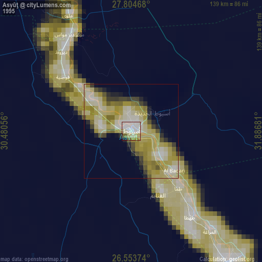
» NASA, Earths city lights 1995
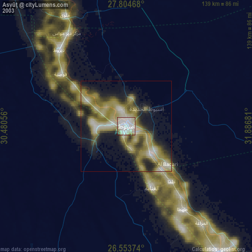
» NASA city lights 2003
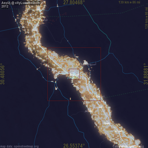
» Earth at Night: Flat Maps 2012, 2016
Src.2: picture by Oleg Kononenko, Roscosmos, retrieved 2019-11-29