Archidona night lights from space
Night Light of Archidona (Napo) from space (Ecuador) Src. Average luminocity for 10x10km area is 17.8615% and for 50x50km: 2.8233%.
Analysis of Archidona night lights 2016
Square area 10x10 km:
 0.87%
0.87%90-99
1.52%80-89
3.25%70-79
1.52%60-69
2.38%50-59
4.55%40-49
3.68%30-39
1.73%20-29
1.3%10-19
18.83%0-9
60.39%Square area 50x50 km:
0.16%90-99
0.3%80-89
0.38%70-79
0.24%60-69
0.25%50-59
0.39%40-49
0.52%30-39
0.68%20-29
0.88%10-19
2.79%0-9
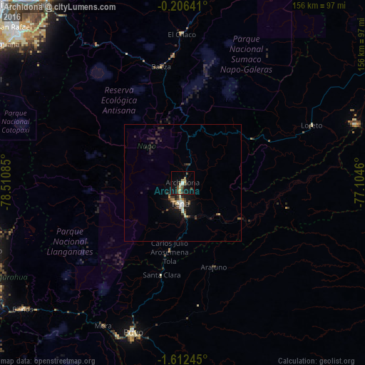
93.41%Clear (daylight) street map image can be seen on geolist.org.
Map coordinates:
0° 12' 23.1" South, 78° 30' 39.1" West
0° 54' 34.2" South, 77° 48' 27.8" West
1° 36' 44.8" South, 77° 6' 16.6" West
Some cities around Archidona sort by population:
• Latacunga
89.9 km =55.9 mi,  268°
268°
• Puyo
67.4 km =41.9 mi,  198°
198°
• Boca Suno
77.8 km =48.3 mi,  72°
72°
• Tena
9.4 km =5.8 mi,  183°
183°
• San Miguel de Salcedo
88.3 km =54.9 mi,  260°
260°
• Baños
87.3 km =54.2 mi,  231°
231°
• Píllaro
87.3 km =54.2 mi,  250°
250°
• Palora
89.8 km =55.8 mi,  191°
191°
3660573 (p: 7,309)
Sources (retrieved 2019-11-25):
» Earth at Night: Flat Maps 2012, 2016