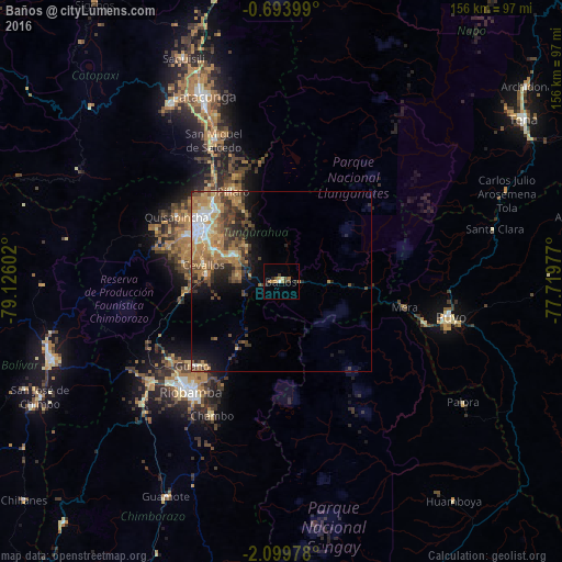
Baños night lights from space
Night Light of Baños (Tungurahua) from space (Ecuador) Src. Average luminocity for 10x10km area is 10.3939% and for 50x50km: 11.8437%.
Analysis of Baños night lights 2016
Square area 10x10 km:
 0.43%
0.43%90-99
0.65%80-89
0.65%70-79
1.95%60-69
3.68%50-59
0.87%40-49
1.95%30-39
1.95%20-29
2.6%10-19
0%0-9
85.28%Square area 50x50 km:
1.19%90-99
1.46%80-89
1.28%70-79
2.05%60-69
3.7%50-59
1.53%40-49
2.26%30-39
2.43%20-29
2.09%10-19
3.82%0-9
78.18%Clear (daylight) street map image can be seen on geolist.org.
Map coordinates:
0° 41' 38.4" South, 79° 7' 33.7" West
1° 23' 49.2" South, 78° 25' 22.4" West
2° 5' 59.2" South, 77° 43' 11.2" West
Some cities around Baños sort by population:
• Ambato
27.1 km =16.8 mi,  307°
307°
• Riobamba
39.4 km =24.5 mi,  219°
219°
• Latacunga
55.6 km =34.5 mi,  337°
337°
• Puyo
47.7 km =29.6 mi,  101°
101°
• Pelileo
15.3 km =9.5 mi,  299°
299°
• Guano
32.9 km =20.4 mi, 224°
• San Miguel de Salcedo
43.3 km =26.9 mi,  334°
334°
• Píllaro
28.3 km =17.6 mi, 330°
3660346 (p: 9,501)
Sources (retrieved 2019-11-25):
» Earth at Night: Flat Maps 2012, 2016