Boca Suno night lights from space
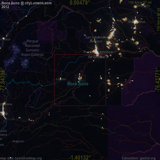
Night Light of Boca Suno (Orellana) from space (Ecuador) Src. Average luminocity for 10x10km area is 12.6494% and for 50x50km: 1.4386%.
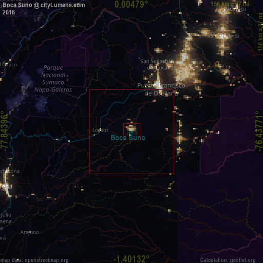
Analysis of Boca Suno night lights 2016
Square area 10x10 km:
 0.43%
0.43%90-99
1.95%80-89
1.08%70-79
1.95%60-69
3.68%50-59
1.3%40-49
1.95%30-39
3.46%20-29
1.52%10-19
1.73%0-9
80.95%Square area 50x50 km:
0.05%90-99
0.11%80-89
0.15%70-79
0.16%60-69
0.3%50-59
0.22%40-49
0.24%30-39
0.29%20-29
0.08%10-19
0.97%0-9
97.41%Clear (daylight) street map image can be seen on geolist.org.
Map coordinates:
0° 0' 17.2" North, 77° 50' 38.3" West
0° 41' 54" South, 77° 8' 27" West
1° 24' 4.8" South, 76° 26' 15.8" West
Some cities around Boca Suno sort by population:
• Puerto Francisco de Orellana
30.9 km =19.2 mi,  33°
33°
• Cayambe
138.7 km =86.2 mi,  306°
306°
• Puyo
129.6 km =80.5 mi,  227°
227°
• Nueva Loja
91.4 km =56.8 mi,  17°
17°
• Tena
81.6 km =50.7 mi,  246°
246°
• Valle del Guamuez, CO
130.3 km =81 mi,  10°
10°
• Archidona
77.8 km =48.3 mi, 252°
• La Dorada, CO
118.6 km =73.7 mi, 12°
3660152 (p: 20,313)
Sources (retrieved 2019-11-25):
» Earth at Night: Flat Maps 2012, 2016