Latacunga night lights from space
Night Light of Latacunga (Cotopaxi) from space (Ecuador) Src. Average luminocity for 10x10km area is 62.5% and for 50x50km: 11.6828%.
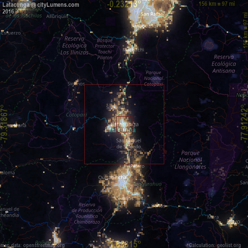
Analysis of Latacunga night lights 2016
Square area 10x10 km:
 9.31%
9.31%90-99
10.39%80-89
4.98%70-79
8.66%60-69
26.19%50-59
9.96%40-49
12.12%30-39
5.63%20-29
9.74%10-19
3.03%0-9
0%Square area 50x50 km:
0.56%90-99
0.61%80-89
0.8%70-79
1.84%60-69
4.09%50-59
1.35%40-49
2.53%30-39
3.12%20-29
3.97%10-19
8.87%0-9
72.26%Clear (daylight) street map image can be seen on geolist.org.
Map coordinates:
0° 13' 55.7" South, 79° 19' 7.2" West
0° 56' 6.8" South, 78° 36' 55.9" West
1° 38' 17.3" South, 77° 54' 44.7" West
Some cities around Latacunga sort by population:
• Ambato
34.9 km =21.7 mi,  180°
180°
• Machachi
47.6 km =29.6 mi,  6°
6°
• Pelileo
44.6 km =27.7 mi,  169°
169°
• La Maná
67.8 km =42.1 mi,  269°
269°
• Pujilí
9.3 km =5.8 mi,  254°
254°
• San Miguel de Salcedo
12.6 km =7.8 mi, 167°
• Baños
55.6 km =34.5 mi,  157°
157°
• Píllaro
27.6 km =17.1 mi, 163°
3654870 (p: 51,717)
Sources (retrieved 2019-11-25):
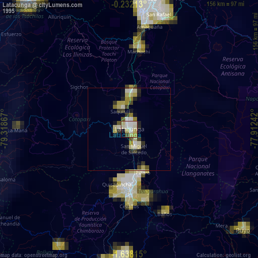
» NASA, Earths city lights 1995
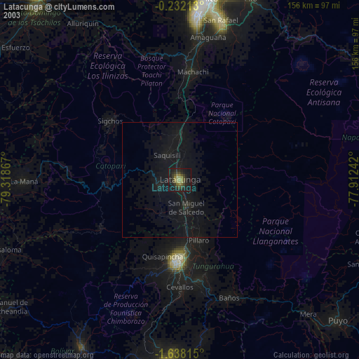
» NASA city lights 2003
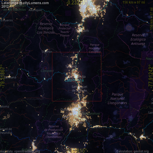
» Earth at Night: Flat Maps 2012, 2016