Tena night lights from space
Night Light of Tena (Napo) from space (Ecuador) Src. Average luminocity for 10x10km area is 32.8939% and for 50x50km: 2.67%.
Analysis of Tena night lights 2016
Square area 10x10 km:
 3.03%
3.03%90-99
6.06%80-89
4.76%70-79
3.46%60-69
3.46%50-59
3.03%40-49
7.14%30-39
7.14%20-29
3.9%10-19
39.61%0-9
18.4%Square area 50x50 km:
0.16%90-99
0.3%80-89
0.38%70-79
0.28%60-69
0.29%50-59
0.41%40-49
0.52%30-39
0.52%20-29
0.47%10-19
2.64%0-9
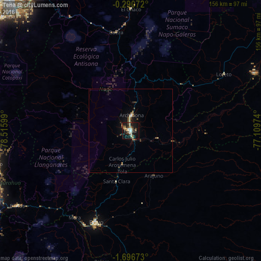
94.05%Clear (daylight) street map image can be seen on geolist.org.
Map coordinates:
0° 17' 26.6" South, 78° 30' 57.6" West
0° 59' 37.7" South, 77° 48' 46.3" West
1° 41' 48.2" South, 77° 6' 35.1" West
Some cities around Tena sort by population:
• Puyo
58.4 km =36.3 mi,  201°
201°
• Boca Suno
81.6 km =50.7 mi,  66°
66°
• Pelileo
89.4 km =55.6 mi,  245°
245°
• San Miguel de Salcedo
86.7 km =53.9 mi,  266°
266°
• Baños
81.3 km =50.5 mi,  236°
236°
• Píllaro
84 km =52.2 mi,  256°
256°
• Archidona
9.4 km =5.8 mi,  3°
3°
• Palora
80.5 km =50 mi,  192°
192°
3650721 (p: 17,172)
Sources (retrieved 2019-11-25):
» Earth at Night: Flat Maps 2012, 2016