Puyo night lights from space
Night Light of Puyo (Pastaza) from space (Ecuador) Src. Average luminocity for 10x10km area is 25.868% and for 50x50km: 1.6989%.

Analysis of Puyo night lights 2016
Square area 10x10 km:
100  2.38%
2.38%
90-99 1.52%
80-89 6.49%
70-79 6.49%
60-69 2.16%
50-59 1.73%
40-49 2.16%
30-39 5.19%
20-29 3.46%
10-19 25.97%
0-9 42.42%
2.38%90-99
1.52%80-89
6.49%70-79
6.49%60-69
2.16%50-59
1.73%40-49
2.16%30-39
5.19%20-29
3.46%10-19
25.97%0-9
42.42%Square area 50x50 km:
100 0.1%
90-99 0.09%
80-89 0.37%
70-79 0.29%
60-69 0.16%
50-59 0.1%
40-49 0.32%
30-39 0.49%
20-29 0.22%
10-19 1.29%
0-9 96.58%
0.1%90-99
0.09%80-89
0.37%70-79
0.29%60-69
0.16%50-59
0.1%40-49
0.32%30-39
0.49%20-29
0.22%10-19
1.29%0-9
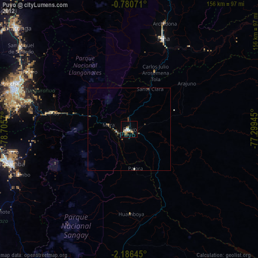
96.58%Clear (daylight) street map image can be seen on geolist.org.
Map coordinates:
0° 46' 50.6" South, 78° 42' 20.5" West
1° 29' 1.3" South, 78° 0' 9.3" West
2° 11' 11.2" South, 77° 17' 58" West
Some cities around Puyo sort by population:
• Ambato
73.1 km =45.4 mi,  290°
290°
• Tena
58.4 km =36.3 mi,  21°
21°
• Pelileo
62.5 km =38.8 mi, 285°
• Guano
71.2 km =44.2 mi,  258°
258°
• Baños
47.7 km =29.6 mi,  281°
281°
• Píllaro
69.6 km =43.2 mi,  299°
299°
• Archidona
67.4 km =41.9 mi, 18°
• Palora
24.6 km =15.3 mi,  170°
170°
3652584 (p: 24,881)
Sources (retrieved 2019-11-25):
» Earth at Night: Flat Maps 2012, 2016