Sétif night lights from space
Night Light of Sétif from space (Algeria) Src. Average luminocity for 10x10km area is 72.1906% and for 50x50km: 15.1131%.
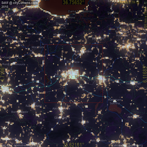
Analysis of Sétif night lights 2016
Square area 10x10 km:
 18.01%
90-99
25.17%80-89
9.62%70-79
9.62%60-69
4.37%50-59
6.47%40-49
6.99%30-39
4.9%20-29
13.11%10-19
1.75%0-9
0%Square area 50x50 km:
1.24%90-99
2.56%80-89
2.07%70-79
2.17%60-69
1.06%50-59
1.24%40-49
2.23%30-39
3.46%20-29
4.17%10-19
10.78%0-9
69.02%Clear (daylight) street map image can be seen on geolist.org.
Map coordinates:
36° 45' 23.5" North, 4° 42' 38.2" East
36° 11' 28" North, 5° 24' 49.4" East
35° 37' 17.8" North, 6° 7' 0.7" East
Some cities around Sétif sort by population:
• El Eulma
25.2 km =15.7 mi,  99°
99°
• Râs el Oued
44 km =27.3 mi,  231°
231°
• Bougaa
33.2 km =20.6 mi,  298°
298°
• Aïn Arnat
9 km =5.6 mi,  266°
266°
• Bordj Ghdir
56.5 km =35.1 mi,  235°
235°
• BABOR - VILLE
35.1 km =21.8 mi,  18°
18°
• Salah Bey
39 km =24.2 mi,  196°
196°
• Bordj Zemoura
50.8 km =31.6 mi,  280°
280°
2481700 (p: 288,461)
Sources (retrieved 2019-11-25):
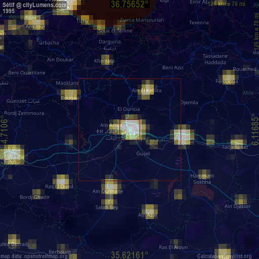
» NASA, Earths city lights 1995
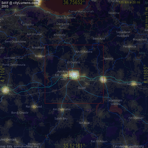
» NASA city lights 2003
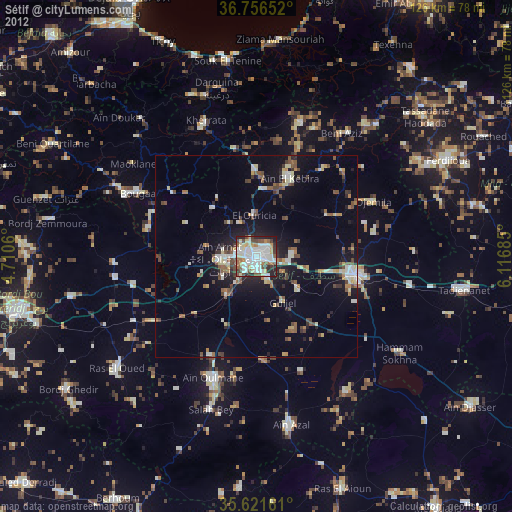
» Earth at Night: Flat Maps 2012, 2016