Salah Bey night lights from space
Night Light of Salah Bey (Sétif) from space (Algeria) Src. Average luminocity for 10x10km area is 20.222% and for 50x50km: 10.5556%.
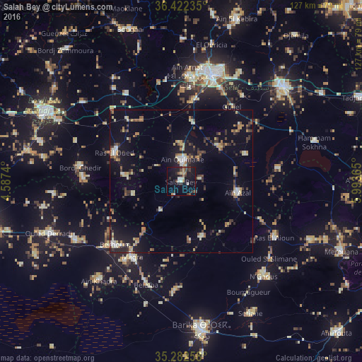
Analysis of Salah Bey night lights 2016
Square area 10x10 km:
 1.57%
1.57%90-99
2.62%80-89
1.4%70-79
2.8%60-69
1.57%50-59
1.92%40-49
4.02%30-39
3.5%20-29
6.12%10-19
27.45%0-9
47.03%Square area 50x50 km:
0.59%90-99
1.35%80-89
1.48%70-79
1.46%60-69
0.97%50-59
1.15%40-49
1.33%30-39
2.59%20-29
2.11%10-19
6.7%0-9
80.27%Clear (daylight) street map image can be seen on geolist.org.
Map coordinates:
36° 25' 20.5" North, 4° 35' 14.6" East
35° 51' 16.2" North, 5° 17' 25.9" East
35° 16' 57.3" North, 5° 59' 37.1" East
Some cities around Salah Bey sort by population:
• Sétif
39 km =24.2 mi,  16°
16°
• El Eulma
48.9 km =30.4 mi,  47°
47°
• Barika
52.2 km =32.4 mi,  172°
172°
• Râs el Oued
25.4 km =15.8 mi,  293°
293°
• Aïn Arnat
37 km =23 mi,  3°
3°
• Râs el Aïoun
37.8 km =23.5 mi,  122°
122°
• Bordj Ghdir
35.7 km =22.2 mi,  278°
278°
• Boumagueur
45.5 km =28.3 mi,  148°
148°
2482447 (p: 23,339)
Sources (retrieved 2019-11-25):
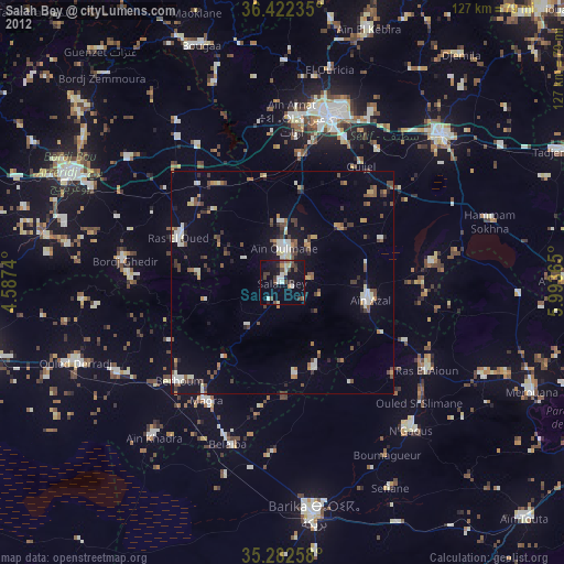
» Earth at Night: Flat Maps 2012, 2016