Bordj Ghdir night lights from space
Night Light of Bordj Ghdir (Bordj Bou Arréridj) from space (Algeria) Src. Average luminocity for 10x10km area is 21.8883% and for 50x50km: 14.7302%.
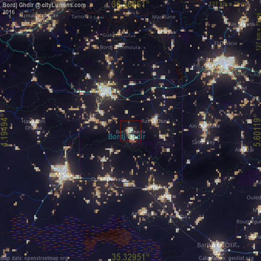
Analysis of Bordj Ghdir night lights 2016
Square area 10x10 km:
 2.01%
2.01%90-99
4.21%80-89
4.76%70-79
1.47%60-69
1.47%50-59
1.28%40-49
3.85%30-39
2.2%20-29
4.4%10-19
17.77%0-9
56.59%Square area 50x50 km:
1.03%90-99
2.21%80-89
1.81%70-79
2.22%60-69
1.48%50-59
1.33%40-49
1.76%30-39
2.64%20-29
3.19%10-19
14.2%0-9
68.15%Clear (daylight) street map image can be seen on geolist.org.
Map coordinates:
36° 28' 7" North, 4° 11' 41.8" East
35° 54' 4" North, 4° 53' 53" East
35° 19' 46.2" North, 5° 36' 4.3" East
Some cities around Bordj Ghdir sort by population:
• Sétif
56.5 km =35.1 mi,  55°
55°
• El Achir
30.3 km =18.8 mi,  306°
306°
• M’Sila
38.8 km =24.1 mi,  235°
235°
• Râs el Oued
12.9 km =8 mi,  68°
68°
• Bougaa
51 km =31.7 mi,  19°
19°
• Aïn Arnat
49 km =30.4 mi,  49°
49°
• Salah Bey
35.7 km =22.2 mi,  98°
98°
• Mansourah
45.2 km =28.1 mi,  297°
297°
2503654 (p: 34,136)
Sources (retrieved 2019-11-25):
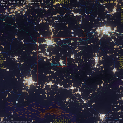
» Earth at Night: Flat Maps 2012, 2016