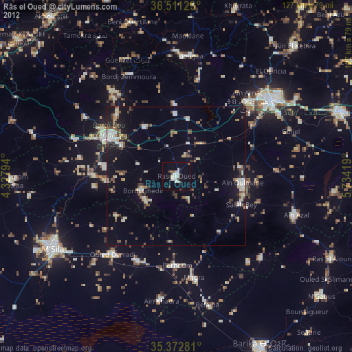
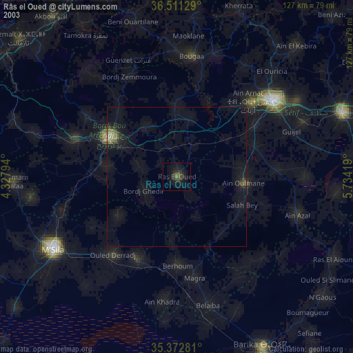
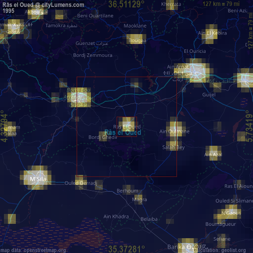
Râs el Oued night lights from space
Night Light of Râs el Oued (Bordj Bou Arréridj) from space (Algeria) Src. Average luminocity for 10x10km area is 22.6264% and for 50x50km: 12.1764%.
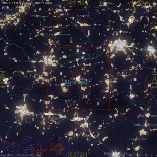
Analysis of Râs el Oued night lights 2016
Square area 10x10 km:
 3.11%
3.11%90-99
4.21%80-89
0.73%70-79
3.66%60-69
1.65%50-59
1.65%40-49
2.56%30-39
5.31%20-29
3.3%10-19
29.49%0-9
44.32%Square area 50x50 km:
0.85%90-99
1.88%80-89
1.6%70-79
1.71%60-69
1.24%50-59
0.97%40-49
1.44%30-39
2.09%20-29
2.85%10-19
9.33%0-9
76.04%Clear (daylight) street map image can be seen on geolist.org.
Map coordinates:
36° 30' 40.6" North, 4° 19' 40.6" East
35° 56' 38.8" North, 5° 1' 51.9" East
35° 22' 22.1" North, 5° 44' 3.1" East
Some cities around Râs el Oued sort by population:
• Sétif
44 km =27.3 mi,  51°
51°
• Bordj Bou Arreridj
28.2 km =17.5 mi,  300°
300°
• El Achir
38.7 km =24 mi,  290°
290°
• Bougaa
43.5 km =27 mi,  6°
6°
• Aïn Arnat
37 km =23 mi,  43°
43°
• Bordj Ghdir
12.9 km =8 mi,  248°
248°
• Salah Bey
25.4 km =15.8 mi,  113°
113°
• Bordj Zemoura
39.9 km =24.8 mi,  336°
336°
2483936 (p: 56,726)
Sources (retrieved 2019-11-25):
» NASA, Earths city lights 1995
» NASA city lights 2003
» Earth at Night: Flat Maps 2012, 2016