El Eulma night lights from space
Night Light of El Eulma (Sétif) from space (Algeria) Src. Average luminocity for 10x10km area is 50.0037% and for 50x50km: 12.753%.
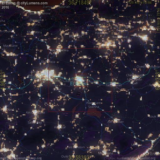
Analysis of El Eulma night lights 2016
Square area 10x10 km:
 6.04%
6.04%90-99
13.19%80-89
8.79%70-79
8.42%60-69
3.66%50-59
3.48%40-49
6.04%30-39
8.42%20-29
17.95%10-19
23.08%0-9
0.92%Square area 50x50 km:
0.88%90-99
1.96%80-89
1.5%70-79
1.78%60-69
0.89%50-59
1.28%40-49
1.83%30-39
3.38%20-29
3.31%10-19
9.59%0-9
73.59%Clear (daylight) street map image can be seen on geolist.org.
Map coordinates:
36° 43' 6.6" North, 4° 59' 13.3" East
36° 9' 10.1" North, 5° 41' 24.6" East
35° 34' 58.9" North, 6° 23' 35.8" East
Some cities around El Eulma sort by population:
• Sétif
25.2 km =15.7 mi,  279°
279°
• Chelghoum el Aïd
42.8 km =26.6 mi,  88°
88°
• Rouached
46.3 km =28.8 mi,  42°
42°
• Bougaa
57.6 km =35.8 mi,  290°
290°
• Aïn Arnat
34 km =21.1 mi, 276°
• Râs el Aïoun
53.4 km =33.2 mi,  184°
184°
• BABOR - VILLE
39.8 km =24.7 mi,  340°
340°
• Salah Bey
48.9 km =30.4 mi,  227°
227°
2498392 (p: 128,351)
Sources (retrieved 2019-11-25):
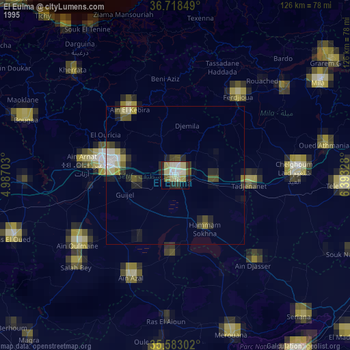
» NASA, Earths city lights 1995
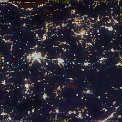
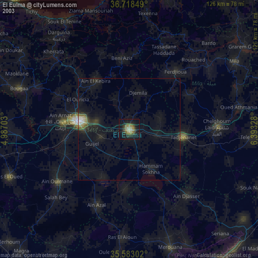
» NASA city lights 2003
» Earth at Night: Flat Maps 2012, 2016