Saoula night lights from space
Night Light of Saoula (Tipaza) from space (Algeria) Src. Average luminocity for 10x10km area is 94.5311% and for 50x50km: 46.9053%.
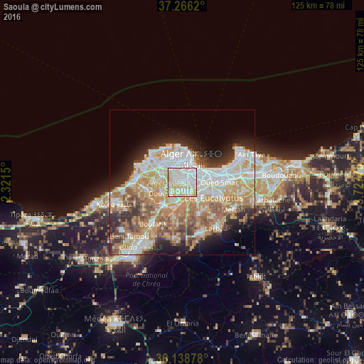
Analysis of Saoula night lights 2016
Square area 10x10 km:
 44.69%
90-99
29.3%80-89
19.96%70-79
6.04%60-69
0%50-59
0%40-49
0%30-39
0%20-29
0%10-19
0%0-9
0%Square area 50x50 km:
11.56%90-99
10.5%80-89
6.31%70-79
7.94%60-69
8.31%50-59
4.42%40-49
4.05%30-39
4.28%20-29
6.02%10-19
7.2%0-9
29.4%Clear (daylight) street map image can be seen on geolist.org.
Map coordinates:
37° 15' 58.3" North, 2° 19' 17.4" East
36° 42' 16.4" North, 3° 1' 28.6" East
36° 8' 19.6" North, 3° 43' 39.9" East
Some cities around Saoula sort by population:
• Algiers
6.4 km =4 mi,  61°
61°
• Bab Ezzouar
14.3 km =8.9 mi,  80°
80°
• Baraki
7.6 km =4.7 mi,  123°
123°
• Birkhadem
2.5 km =1.6 mi, 62°
• Sidi Moussa
12.3 km =7.6 mi,  152°
152°
• Cheraga
9.1 km =5.7 mi,  320°
320°
• Douera
8.1 km =5 mi,  241°
241°
• Chebli
14.2 km =8.8 mi,  185°
185°
2482390 (p: 16,812)
Sources (retrieved 2019-11-25):
» Earth at Night: Flat Maps 2012, 2016