Algiers night lights from space
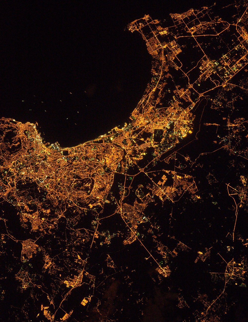
Night Light of Algiers from space (Algeria) Src. Average luminocity for 10x10km area is 89.3147% and for 50x50km: 46.4915%.
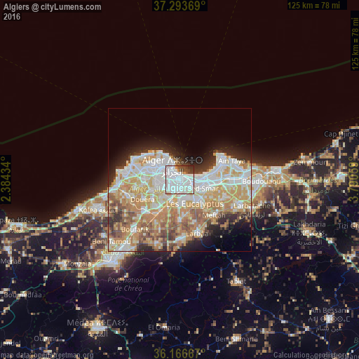
Analysis of Algiers night lights 2016
Square area 10x10 km:
 56.47%
90-99
21.85%80-89
3.5%70-79
1.92%60-69
1.4%50-59
2.97%40-49
6.29%30-39
4.2%20-29
1.4%10-19
0%0-9
0%Square area 50x50 km:
11.63%90-99
10.83%80-89
6.49%70-79
8.58%60-69
7.57%50-59
4.14%40-49
3.59%30-39
3.75%20-29
5.17%10-19
6.03%0-9
32.23%Clear (daylight) street map image can be seen on geolist.org.
Map coordinates:
37° 17' 37.3" North, 2° 23' 3.6" East
36° 43' 56.1" North, 3° 5' 14.9" East
36° 10' 0" North, 3° 47' 26.1" East
Fantastic image of Algiers from space taken by astronauts [src2], but I don't have information about it's orientation, scale or angle. If necessary, it was rotated manually, so North points approximately to upper direction. Click to zoom in:
Some cities around Algiers sort by population:
• Bab Ezzouar
8.5 km =5.3 mi,  94°
94°
• Bordj el Kiffan
9.5 km =5.9 mi,  78°
78°
• Baraki
7.3 km =4.5 mi,  174°
174°
• Birkhadem
3.8 km =2.4 mi,  240°
240°
• Sidi Moussa
14 km =8.7 mi,  179°
179°
• Dar el Beïda
11.3 km =7 mi,  100°
100°
• Cheraga
12.1 km =7.5 mi,  289°
289°
• Saoula
6.4 km =4 mi, 241°
2507480 (p: 1,977,663)
Sources (retrieved 2019-11-25):
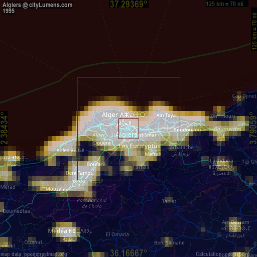
» NASA, Earths city lights 1995
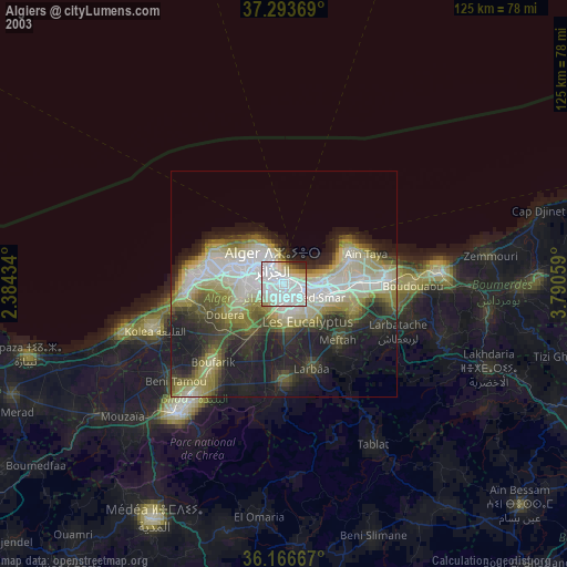
» NASA city lights 2003
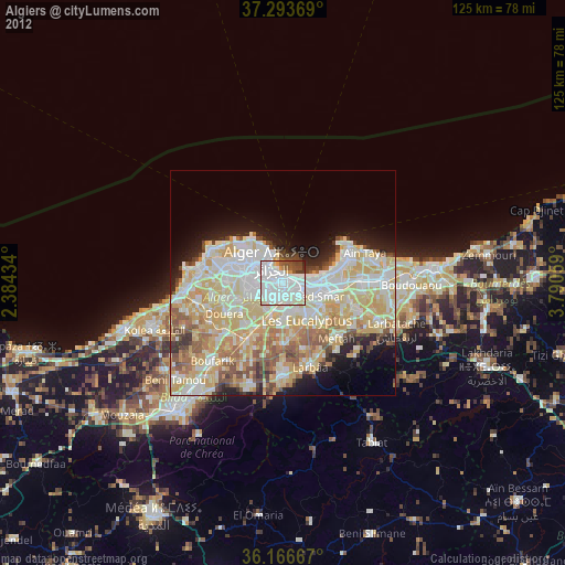
» Earth at Night: Flat Maps 2012, 2016
Src.2: Thomas Pesquet, Twitter/@Thom_astro, 2017-02-18