Bab Ezzouar night lights from space
Night Light of Bab Ezzouar (Algiers) from space (Algeria) Src. Average luminocity for 10x10km area is 87.0165% and for 50x50km: 43.9618%.
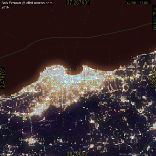
Analysis of Bab Ezzouar night lights 2016
Square area 10x10 km:
 40.48%
90-99
26.01%80-89
14.65%70-79
3.85%60-69
0%50-59
1.65%40-49
3.85%30-39
8.42%20-29
1.1%10-19
0%0-9
0%Square area 50x50 km:
11.07%90-99
10.16%80-89
5.8%70-79
8.17%60-69
6.96%50-59
3.38%40-49
3.4%30-39
3.5%20-29
5.88%10-19
7.55%0-9
34.12%Clear (daylight) street map image can be seen on geolist.org.
Map coordinates:
37° 17' 15.5" North, 2° 28' 47.2" East
36° 43' 34.1" North, 3° 10' 58.5" East
36° 9' 37.9" North, 3° 53' 9.7" East
Some cities around Bab Ezzouar sort by population:
• Algiers
8.5 km =5.3 mi,  274°
274°
• Bordj el Kiffan
2.6 km =1.6 mi,  18°
18°
• Baraki
10.2 km =6.3 mi,  229°
229°
• Birkhadem
11.9 km =7.4 mi,  264°
264°
• Meftah
12.3 km =7.6 mi,  163°
163°
• Dar el Beïda
3 km =1.9 mi,  118°
118°
• Aïn Taya
11.9 km =7.4 mi,  51°
51°
• Rouiba
8.8 km =5.5 mi,  81°
81°
2505854 (p: 275,630)
Sources (retrieved 2019-11-25):
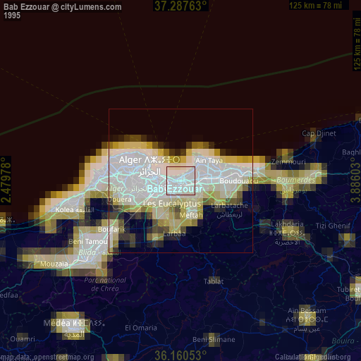
» NASA, Earths city lights 1995
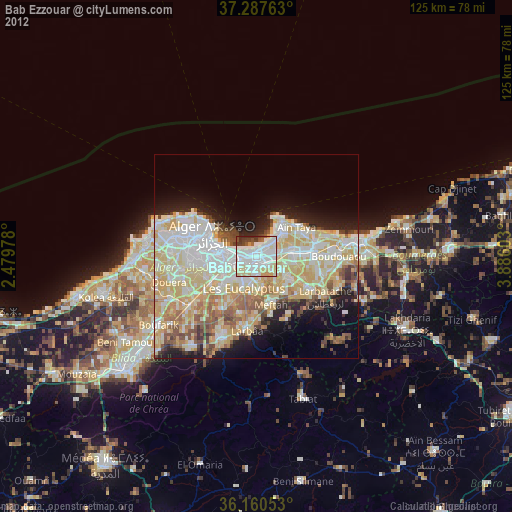
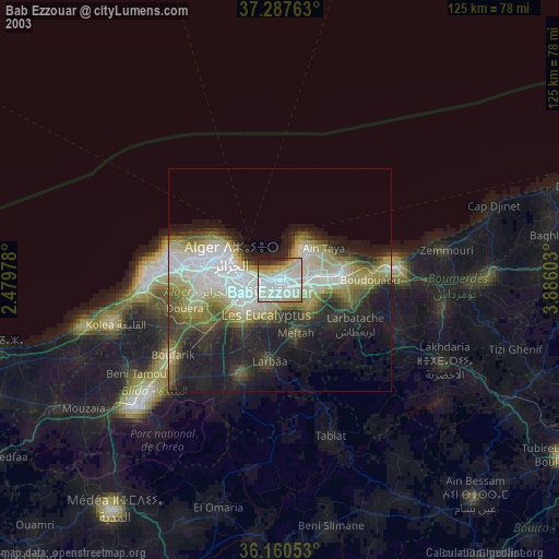
» NASA city lights 2003
» Earth at Night: Flat Maps 2012, 2016