Cheraga night lights from space
Night Light of Cheraga (Tipaza) from space (Algeria) Src. Average luminocity for 10x10km area is 91.778% and for 50x50km: 38.4161%.
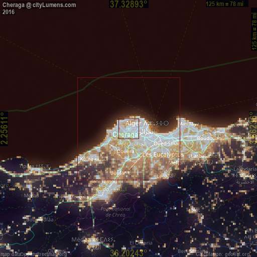
Analysis of Cheraga night lights 2016
Square area 10x10 km:
 37.24%
90-99
31.82%80-89
16.61%70-79
9.27%60-69
2.27%50-59
0%40-49
1.4%30-39
1.22%20-29
0.17%10-19
0%0-9
0%Square area 50x50 km:
9.65%90-99
8.31%80-89
5.39%70-79
6.12%60-69
6.98%50-59
4.04%40-49
3.33%30-39
3.45%20-29
5.04%10-19
5.1%0-9
42.59%Clear (daylight) street map image can be seen on geolist.org.
Map coordinates:
37° 19' 44.1" North, 2° 15' 22" East
36° 46' 3.9" North, 2° 57' 33.3" East
36° 12' 8.7" North, 3° 39' 44.5" East
Some cities around Cheraga sort by population:
• Algiers
12.1 km =7.5 mi,  109°
109°
• Bab Ezzouar
20.5 km =12.7 mi,  103°
103°
• Baraki
16.6 km =10.3 mi,  132°
132°
• Birkhadem
10 km =6.2 mi, 125°
• ’Aïn Benian
5.1 km =3.2 mi,  319°
319°
• Douera
10.9 km =6.8 mi,  186°
186°
• Zeralda
12.1 km =7.5 mi,  239°
239°
• Saoula
9.1 km =5.7 mi,  140°
140°
2501465 (p: 27,835)
Sources (retrieved 2019-11-25):
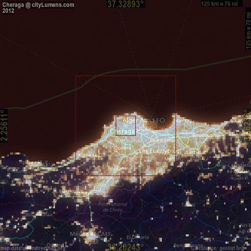
» Earth at Night: Flat Maps 2012, 2016