Messaad night lights from space
Night Light of Messaad (Djelfa) from space (Algeria) Src. Average luminocity for 10x10km area is 28.3187% and for 50x50km: 1.4515%.
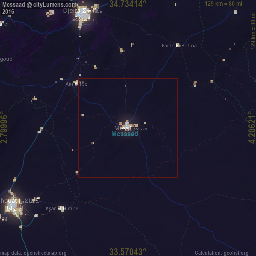
Analysis of Messaad night lights 2016
Square area 10x10 km:
 3.11%
3.11%90-99
4.95%80-89
6.23%70-79
4.95%60-69
2.93%50-59
2.01%40-49
1.83%30-39
2.38%20-29
2.75%10-19
31.5%0-9
37.36%Square area 50x50 km:
0.14%90-99
0.19%80-89
0.35%70-79
0.2%60-69
0.13%50-59
0.1%40-49
0.1%30-39
0.16%20-29
0.14%10-19
1.29%0-9
97.2%Clear (daylight) street map image can be seen on geolist.org.
Map coordinates:
34° 44' 2.9" North, 2° 47' 59.9" East
34° 9' 15.4" North, 3° 30' 11.1" East
33° 34' 13.5" North, 4° 12' 22.4" East
Some cities around Messaad sort by population:
• Djelfa
61.7 km =38.3 mi,  339°
339°
• Laghouat
70.8 km =44 mi,  236°
236°
• Aflou
129 km =80.2 mi,  267°
267°
• Dar Chioukh
82.5 km =51.3 mi,  358°
358°
• ’Aïn el Melh
97.5 km =60.6 mi,  38°
38°
• El Idrissia
95.3 km =59.2 mi,  289°
289°
• ’Aïn el Bell
33.1 km =20.6 mi,  309°
309°
• Charef
83.1 km =51.6 mi, 308°
2487772 (p: 99,485)
Sources (retrieved 2019-11-25):
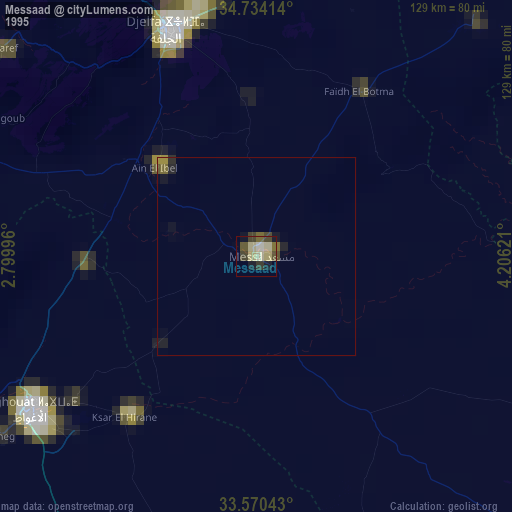
» NASA, Earths city lights 1995
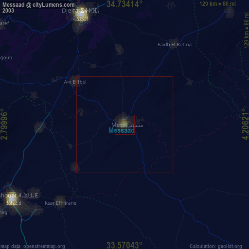
» NASA city lights 2003
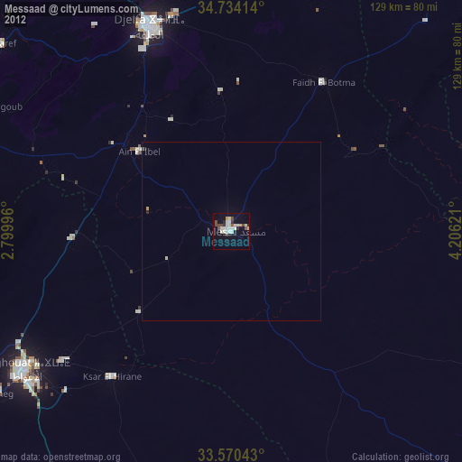
» Earth at Night: Flat Maps 2012, 2016