Djelfa night lights from space
Night Light of Djelfa from space (Algeria) Src. Average luminocity for 10x10km area is 57.0245% and for 50x50km: 4.5271%.
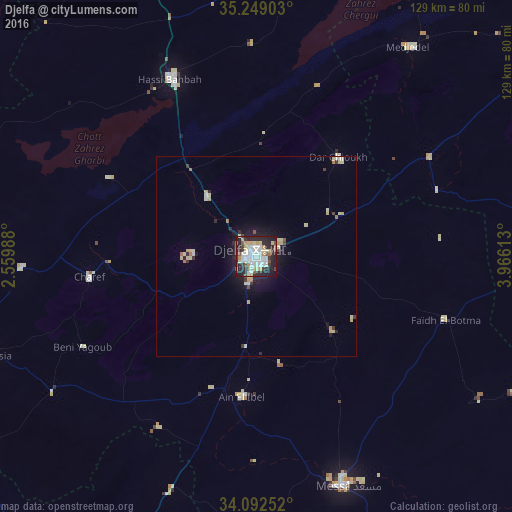
Analysis of Djelfa night lights 2016
Square area 10x10 km:
 16.78%
90-99
13.46%80-89
8.92%70-79
6.64%60-69
1.4%50-59
3.85%40-49
3.5%30-39
5.59%20-29
24.83%10-19
14.86%0-9
0.17%Square area 50x50 km:
0.76%90-99
0.76%80-89
0.95%70-79
0.51%60-69
0.27%50-59
0.27%40-49
0.27%30-39
0.55%20-29
1.39%10-19
2.79%0-9
91.48%Clear (daylight) street map image can be seen on geolist.org.
Map coordinates:
35° 14' 56.5" North, 2° 33' 35.6" East
34° 40' 22" North, 3° 15' 46.8" East
34° 5' 33.1" North, 3° 57' 58.1" East
Some cities around Djelfa sort by population:
• Aïn Oussera
92.5 km =57.5 mi,  339°
339°
• Laghouat
103.7 km =64.4 mi,  200°
200°
• Messaad
61.7 km =38.3 mi,  159°
159°
• Dar Chioukh
32.1 km =19.9 mi,  39°
39°
• ’Aïn el Melh
84.4 km =52.4 mi,  77°
77°
• El Idrissia
71.9 km =44.7 mi,  249°
249°
• ’Aïn el Bell
36.7 km =22.8 mi,  185°
185°
• Charef
43.2 km =26.8 mi,  262°
262°
2500017 (p: 154,265)
Sources (retrieved 2019-11-25):
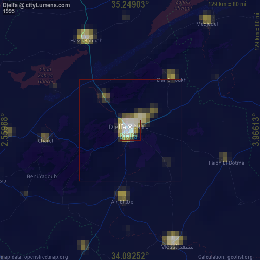
» NASA, Earths city lights 1995
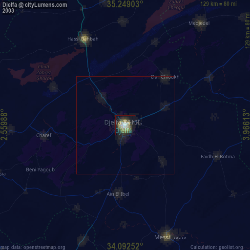
» NASA city lights 2003
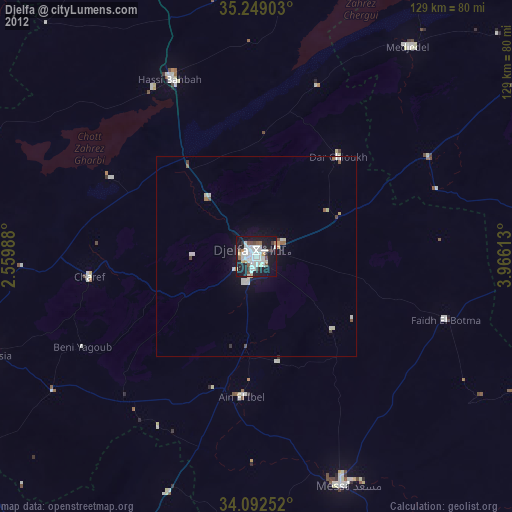
» Earth at Night: Flat Maps 2012, 2016