Dar Chioukh night lights from space
Night Light of Dar Chioukh (Djelfa) from space (Algeria) Src. Average luminocity for 10x10km area is 8.0092% and for 50x50km: 2.3998%.
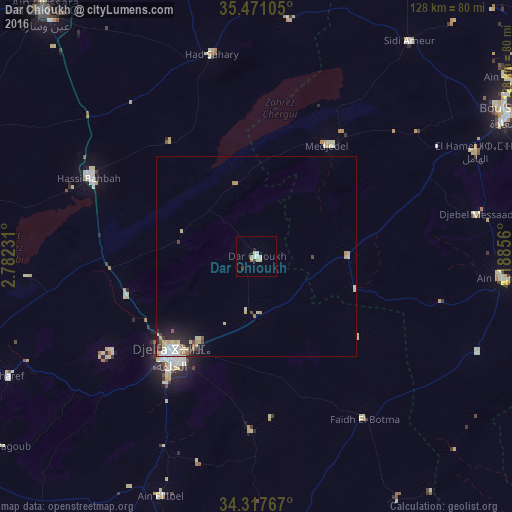
Analysis of Dar Chioukh night lights 2016
Square area 10x10 km:
 0.73%
0.73%90-99
1.47%80-89
3.3%70-79
0.37%60-69
0.73%50-59
0%40-49
0%30-39
1.47%20-29
0.73%10-19
0%0-9
91.21%Square area 50x50 km:
0.38%90-99
0.35%80-89
0.68%70-79
0.37%60-69
0.09%50-59
0.18%40-49
0.18%30-39
0.19%20-29
0.59%10-19
1.04%0-9
95.93%Clear (daylight) street map image can be seen on geolist.org.
Map coordinates:
35° 28' 15.8" North, 2° 46' 56.3" East
34° 53' 47" North, 3° 29' 7.5" East
34° 19' 3.6" North, 4° 11' 18.8" East
Some cities around Dar Chioukh sort by population:
• Djelfa
32.1 km =19.9 mi,  219°
219°
• Aïn Oussera
81.1 km =50.4 mi,  319°
319°
• Messaad
82.5 km =51.3 mi,  178°
178°
• Birine
85.5 km =53.1 mi,  343°
343°
• ‘Aïn el Hadjel
93.2 km =57.9 mi,  22°
22°
• ’Aïn el Melh
62.2 km =38.6 mi,  95°
95°
• ’Aïn el Bell
65.9 km =40.9 mi,  201°
201°
• Charef
70.1 km =43.6 mi,  244°
244°
2500904 (p: 54,022)
Sources (retrieved 2019-11-25):
» NASA, Earths city lights 1995
» NASA city lights 2003
» Earth at Night: Flat Maps 2012, 2016