’Aïn el Melh night lights from space
Night Light of ’Aïn el Melh (M'Sila) from space (Algeria) Src. Average luminocity for 10x10km area is 12.6099% and for 50x50km: 1.1637%.
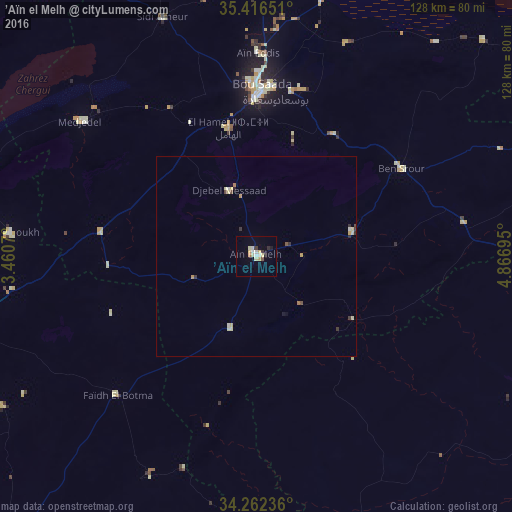
Analysis of ’Aïn el Melh night lights 2016
Square area 10x10 km:
 1.28%
1.28%90-99
3.11%80-89
2.56%70-79
1.83%60-69
0.73%50-59
0.73%40-49
0%30-39
1.47%20-29
1.47%10-19
0.73%0-9
86.08%Square area 50x50 km:
0.09%90-99
0.18%80-89
0.33%70-79
0.18%60-69
0.09%50-59
0.06%40-49
0.09%30-39
0.23%20-29
0.13%10-19
0.08%0-9
98.52%Clear (daylight) street map image can be seen on geolist.org.
Map coordinates:
35° 24' 59.4" North, 3° 27' 38.5" East
34° 50' 29.3" North, 4° 9' 49.8" East
34° 15' 44.5" North, 4° 52' 1" East
Some cities around ’Aïn el Melh sort by population:
• Djelfa
84.4 km =52.4 mi,  257°
257°
• M’Sila
102.1 km =63.4 mi,  19°
19°
• Messaad
97.5 km =60.6 mi,  218°
218°
• Sidi Aïssa
121.4 km =75.4 mi,  342°
342°
• Tolga
111.7 km =69.4 mi,  96°
96°
• Sidi Khaled
90.8 km =56.4 mi,  123°
123°
• Dar Chioukh
62.2 km =38.6 mi,  275°
275°
• Birine
122.7 km =76.2 mi,  315°
315°
2508130 (p: 39,798)
Sources (retrieved 2019-11-25):
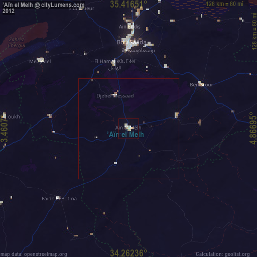
» Earth at Night: Flat Maps 2012, 2016