Charef night lights from space
Night Light of Charef (Djelfa) from space (Algeria) Src. Average luminocity for 10x10km area is 5.472% and for 50x50km: 0.8006%.
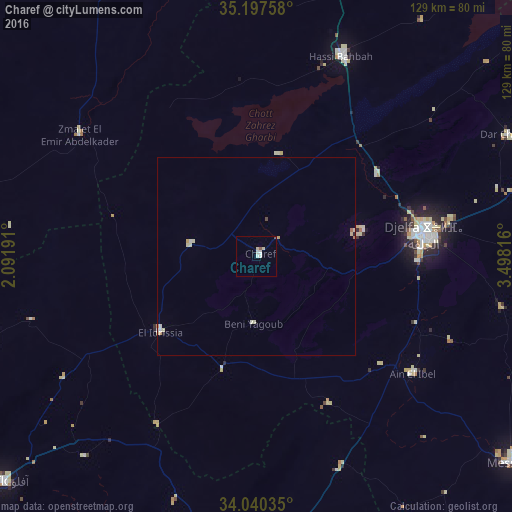
Analysis of Charef night lights 2016
Square area 10x10 km:
 1.4%
1.4%90-99
1.4%80-89
1.4%70-79
0%60-69
0%50-59
0.7%40-49
0.35%30-39
0%20-29
0%10-19
0%0-9
94.76%Square area 50x50 km:
0.12%90-99
0.18%80-89
0.24%70-79
0.09%60-69
0.08%50-59
0.03%40-49
0.06%30-39
0%20-29
0.03%10-19
0.03%0-9
99.16%Clear (daylight) street map image can be seen on geolist.org.
Map coordinates:
35° 11' 51.3" North, 2° 5' 30.9" East
34° 37' 15.5" North, 2° 47' 42.1" East
34° 2' 25.3" North, 3° 29' 53.4" East
Some cities around Charef sort by population:
• Djelfa
43.2 km =26.8 mi,  82°
82°
• Laghouat
91.5 km =56.9 mi,  175°
175°
• Messaad
83.1 km =51.6 mi,  128°
128°
• Aflou
85.1 km =52.9 mi,  228°
228°
• Ksar Chellala
78.8 km =49 mi,  326°
326°
• Dar Chioukh
70.1 km =43.6 mi,  64°
64°
• El Idrissia
31.3 km =19.4 mi, 231°
• ’Aïn el Bell
50 km =31.1 mi, 128°
2501767 (p: 27,700)
Sources (retrieved 2019-11-25):
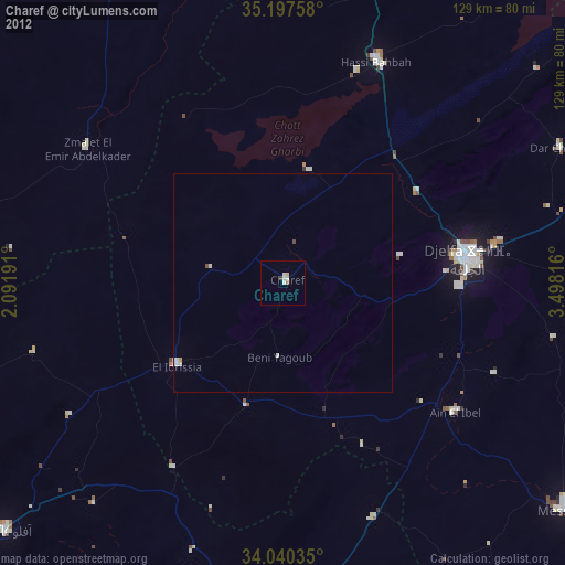
» Earth at Night: Flat Maps 2012, 2016