El Idrissia night lights from space
Night Light of El Idrissia (Djelfa) from space (Algeria) Src. Average luminocity for 10x10km area is 5.7133% and for 50x50km: 0.7769%.
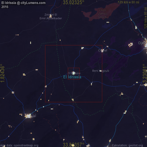
Analysis of El Idrissia night lights 2016
Square area 10x10 km:
 1.05%
1.05%90-99
1.05%80-89
1.4%70-79
0.87%60-69
0.52%50-59
0%40-49
0%30-39
0%20-29
1.4%10-19
0.7%0-9
93.01%Square area 50x50 km:
0.12%90-99
0.13%80-89
0.32%70-79
0.14%60-69
0.02%50-59
0%40-49
0%30-39
0.03%20-29
0.08%10-19
0.03%0-9
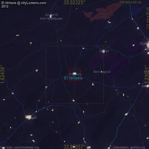
99.13%Clear (daylight) street map image can be seen on geolist.org.
Map coordinates:
35° 1' 23.7" North, 1° 49' 27.7" East
34° 26' 43.5" North, 2° 31' 39" East
33° 51' 48.9" North, 3° 13' 50.2" East
Some cities around El Idrissia sort by population:
• Djelfa
71.9 km =44.7 mi,  69°
69°
• Laghouat
78.2 km =48.6 mi,  156°
156°
• Messaad
95.3 km =59.2 mi,  109°
109°
• Aflou
53.8 km =33.4 mi,  226°
226°
• Ksar Chellala
87.4 km =54.3 mi,  347°
347°
• ’Aïn Deheb
100 km =62.1 mi,  296°
296°
• ’Aïn el Bell
65 km =40.4 mi,  100°
100°
• Charef
31.3 km =19.4 mi,  51°
51°
2498000 (p: 38,714)
Sources (retrieved 2019-11-25):
» Earth at Night: Flat Maps 2012, 2016