Mascara night lights from space
Night Light of Mascara from space (Algeria) Src. Average luminocity for 10x10km area is 37.6978% and for 50x50km: 6.6305%.
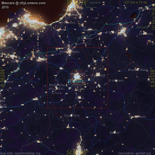
Analysis of Mascara night lights 2016
Square area 10x10 km:
 8.42%
8.42%90-99
6.41%80-89
6.59%70-79
3.3%60-69
4.76%50-59
2.56%40-49
1.65%30-39
1.47%20-29
6.78%10-19
51.1%0-9
6.96%Square area 50x50 km:
0.59%90-99
0.75%80-89
1.25%70-79
0.64%60-69
0.89%50-59
0.52%40-49
0.78%30-39
1.07%20-29
1.24%10-19
3.87%0-9
88.41%Clear (daylight) street map image can be seen on geolist.org.
Map coordinates:
35° 58' 3.9" North, 0° 33' 46.3" West
35° 23' 47.9" North, 0° 8' 25" East
34° 49' 17.2" North, 0° 50' 36.2" East
Some cities around Mascara sort by population:
• Relizane
53.4 km =33.2 mi,  44°
44°
• Mostaganem
59.6 km =37 mi,  355°
355°
• Sig
33.6 km =20.9 mi,  295°
295°
• Aïn el Bya
60.4 km =37.5 mi,  318°
318°
• Sfizef
39.3 km =24.4 mi,  242°
242°
• Bou Hanifia el Hamamat
19.5 km =12.1 mi, 242°
• Oued el Abtal
50 km =31.1 mi,  82°
82°
• ’Aïn el Berd
59.3 km =36.8 mi,  266°
266°
2490098 (p: 150,000)
Sources (retrieved 2019-11-25):
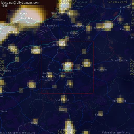
» NASA, Earths city lights 1995
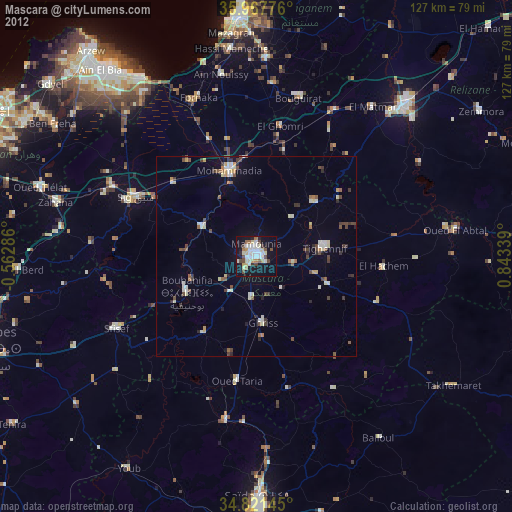
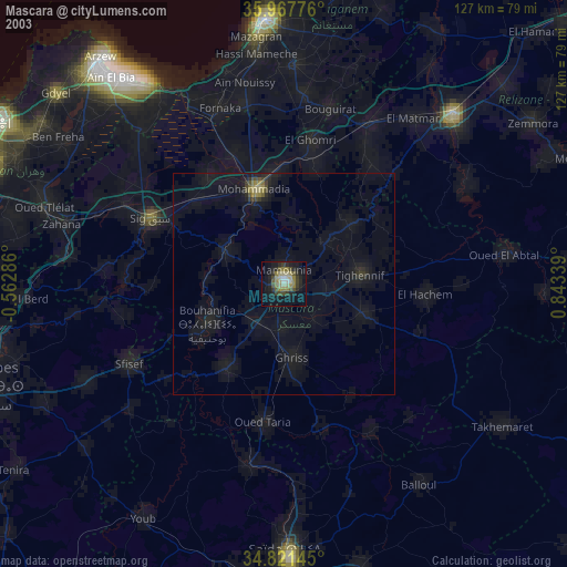
» NASA city lights 2003
» Earth at Night: Flat Maps 2012, 2016