Aïn el Bya night lights from space
Night Light of Aïn el Bya (Oran) from space (Algeria) Src. Average luminocity for 10x10km area is 74.2448% and for 50x50km: 16.903%.
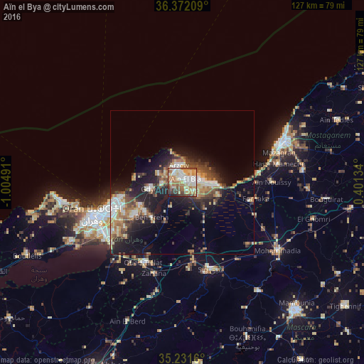
Analysis of Aïn el Bya night lights 2016
Square area 10x10 km:
 17.13%
90-99
16.96%80-89
11.36%70-79
12.24%60-69
17.66%50-59
8.22%40-49
7.17%30-39
5.77%20-29
2.45%10-19
1.05%0-9
0%Square area 50x50 km:
2.23%90-99
2.72%80-89
2.02%70-79
2.05%60-69
3.3%50-59
1.98%40-49
2.51%30-39
3.04%20-29
4.48%10-19
10.01%0-9
65.68%Clear (daylight) street map image can be seen on geolist.org.
Map coordinates:
36° 22' 19.5" North, 1° 0' 17.7" West
35° 48' 14" North, 0° 18' 6.4" West
35° 13' 53.8" North, 0° 24' 4.8" East
Some cities around Aïn el Bya sort by population:
• Oran
32.3 km =20.1 mi,  248°
248°
• Mostaganem
38 km =23.6 mi,  68°
68°
• Es Senia
33.9 km =21.1 mi,  239°
239°
• Bir el Djir
23.8 km =14.8 mi, 246°
• Sig
32.2 km =20 mi,  162°
162°
• Sidi ech Chahmi
25.6 km =15.9 mi,  230°
230°
• Bou Hanifia el Hamamat
59 km =36.7 mi, 157°
• Mers el Kebir
37.6 km =23.4 mi,  257°
257°
2508174 (p: 37,241)
Sources (retrieved 2019-11-25):
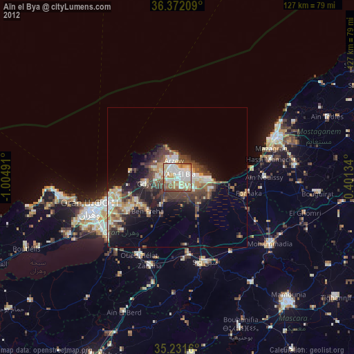
» Earth at Night: Flat Maps 2012, 2016